Gradbach Lud’s Church Roaches Gun Barleigh Ford Bridge Greasley Hollow Danebridge Gradbach
28th May 2010
The prettiest countryside in the Peak District
Who Went: MP & Max.
Weather: Sunny periods and warm in the valleys but on the tops there was a cool breeze. Started in trousers but eventually shorts and needed sunscreen.
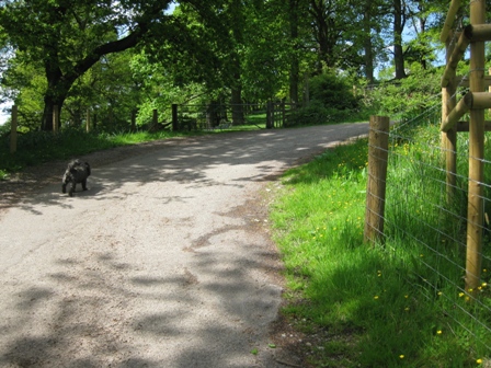
Parking: On the road to Gradbach Youth Hostel there is a pretty car park by the river. The added bonus is that it’s free. But beware on nice days and at weekends you need to get there early. Although we were first there a couple of other cars arrived before we had set off. Unheard of.
The Walk
From the car park entrance turn right and walk down the road. In 250m turn right and walk through the entrance and down the road to the YHA. This takes you to the lhs of the YH.
Turn right and then immediately left and walk away from the main building along a path with a high hedge on your right past a NPFS sign to a stile. Over the stile the path goes along the bottom of a field with a wall on your right for 100m or so.
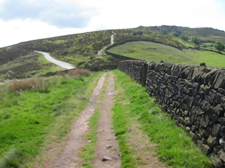
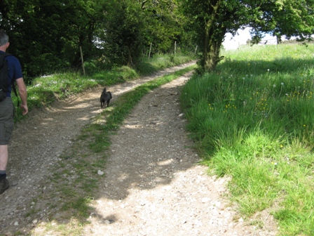
Then cross the wall over a stile on your right and join a track. Turn left and walk down the track with a wall on your left and a hedge and campsite on your right. Eventually the track bends left and climbs.
Turn right and climb over a stile in a wall before dropping down to a footbridge over Black Brook.
After crossing the bridge take a path off diagonally right (FP Danebridge/ Swythamley); the river Dane is on your right.
In 100m the path divides (FP). Take the left hand path that climbs away from the river and up and through Frost Wood. 0.5km from the footbridge you reach a large stone and the junction with a path. Carry on straight (FP Lud’s Church) on a good path. 150m along the path on your right is is the entrance to Lud’s Church.
It looks as if you’re entering a crack in the rock and if you’re not careful it’s easy to walk past the entrance. The crack opens up into a large fissure. Keep to the main path. There are hewn steps in places. The fissure gets quite deep and is a lovely serene place to walk through. Eventually the path climbs out of the fissure. And if you look back it’s easy to see how the fissure entrance could be missed in summer with all the trees in leaf and fawner and grass in at their height.
From the top a good path continues through the wood. Eventually it begins to drop and meets a path coming from the right. Here turn right (FP Concessionary path to the ridge) taking the path that climbs out of the wood and into heather covered moorland heading up to a coll and the ridge where you hit a good path running NW/SE.
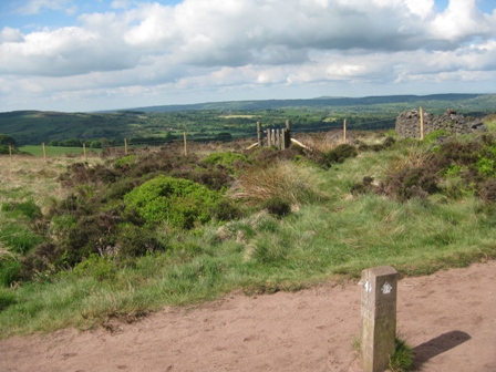
Here is the start of a walk of 3.5km along The Roaches and lovely views in every direction. To the north the view is dominated by the notable profile of Shutlingsloe, to the east is Ramshaw Rock, to the south west is Tittesworth reservoir and to the west Gun.
Turn left on the ridge path and soon you pick up a wall on your right.
A path goes off right but carry of straight (FP Roaches) until you drop down to a road via a pedestrian gate and a stile. Just before the road we stopped and MP changed into shorts. I took off my top and then carried on at MP’s insistence. Cross the road and carry on straight (FP).
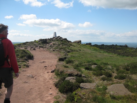
A good path, partly paved climbs for 0.8km to the trig point that marks the high point of the Roaches. Just before the trig point and 0.9km from where we stopped I felt cold so stopped to put my top back on. I realised I hadn’t got my hat – which I’d put on the wall when we stopped. By this time MP had caught me up. I told him to wait while I went back and picked up my cap. When I got there it was on the wall with my specs. A good job I’d gone back. Returning to MP I was met by too large Everton fans (they had Everton tops on) who told me that Martin was getting cold waiting and that I’d been a little foolish. When I got to Martin he was cold and he said that the two blokes had asked him where Lud’s Church was and what a trig point was? MP could hardly understand their Liverpool accents.
A good path continues along the ridge heading south east. In 1km you reach Doxey Pool. It was unexpected to find water and today it was surrounded by cotton grass, swaying in the late spring sunshine. From here the path drops down to a coll, a cairn and a path cross roads. You have a choice, today we took a path off left which heads round the eastern side of the end rock of The Roaches. As you circle round ahead you get good views of Hen Cloud. The path bends round to the right until it joins a path.
Here turn left and drop down to a wall. Ahead is Hen Cloud.
Go through a pedestrian gate and cross a field to a second wall which is crossed through a stile.
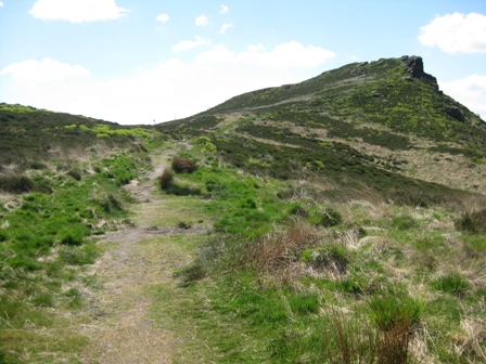
From here a good path climbs up the eastern side of Hen Cloud. As we got near the top there were notices asking people to keep away from the crags because peregrine falcons were nesting. We continued to climb to the top.
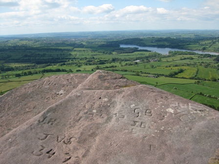
From here you have magnificent views. Well worth the effort. There’s even graffiti chiseled into the rock but small beer compared to that on Higher Shelf Stones and Bleaklow Stones. From the top continue ahead.
The path drops down steeply until by some rocks it drops down right and through the end of a wood to a stile in a fence. Ahead is Roaches Hall.
The stile takes you into the grounds of the Hall. Head diagonally right along a graveled drive with the house on your left and onto the access road to the hall.
The access road bends round right through a wooded area beneath Hen Cloud.
Eventually you leave the wood and can see the rocks of Hen Cloud above you. We could clearly see the falcon gliding around on the thermals. It was a lovely sight.
300m along the track it bends left and drops down to a road. We took a break here and watched the falcon above us.
At the road (FP) turn right and walk down the road for 120m before turning left (FP) down the access track to Widdygate Farm. Just before the track there was a scarecrow in a field. From now on we saw plenty of scarecrows in various garbs; I couldn’t work out what the theme was. Walk down the track.
Just before the farm buildings you pass a FP and then you access the farm through a 5 bar gate. Carry on ahead in front of the house to a pedestrian gate to the rhs of a barn. Through the gate the path goes down the side of the barn and at its far end (FP) turn left and drop down a field to a 5 bar gate opening to the left hand side of a barn and tree.
From here you continue walking ahead down the left hand side of a field.
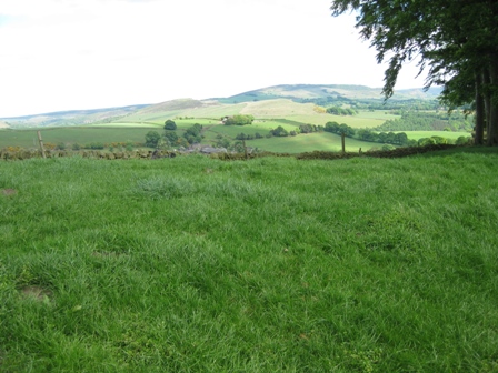
Look back towards magnificent views of Hen Cloud and The Roaches.
At the bottom of the field go through a 5 bar gate opening and continue ahead down the right hand side of a field. At the bottom of the field cross a wall through a stile and continue ahead aiming for the right hand side of a stone barn.
After crossing a stile continue diagonally right heading for a stile in a fence to the right of some trees/bushes. After crossing the stile (FP) turn right, cross a footbridge and continue ahead picking up the line of a fence (on your left) .
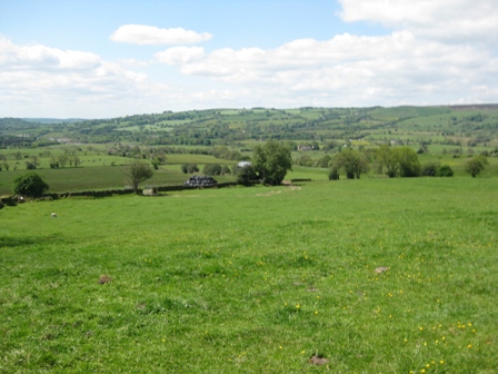
This eventually bends off left and you continue straight, crossing a footbridge before hitting a fence. Here turn right and track up the rhs of the fence to a stile in front of buildings at Frith Bottom. It’s a lovely area to walk through. The spring fauna was lovely, dominated by the yellow of the buttercups in full bloom. A buzzard thermaled overhead and was being attacked by a single crow who kept dive-bombing it. But there were lapwings, curlews skylarks and lots of LBJ’s floating around. A surprise because I thought this section of the walk may be disappointing. It wasn’t.
Cross the stile at Frith Bottom and walk along a path to the access track to the buildings.
Here turn left (FP) and walk down the track.
You cross a 5 bar gate and head towards a small caravan site by the road from Meerbrook to Roche Grange. The track outturns at the road (FP) where you turn left and in 30m you turn right (FP) through a 5 bar gate opening.
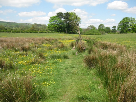
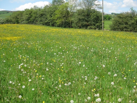
The path heads diagonally right through a field full of spring meadow flowers to a stile. Cross the stile and head straight ahead to a FP on a track.
Turn left and walk up the track to the top of a field where you turn right (FP) and continue along a track heading north. In 250m you hit a track heading east/west. Here turn right (FP) and walk up a track towards the farm at Lower Wetwood.
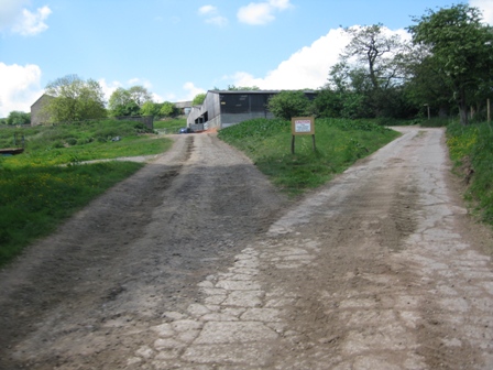
Just before the buildings the track splits. There is a sign warning of free range children and animals! Take the right hand track and in 30m as the track bends left go straight (FP Oldhay Top) up a fenced track . To gain access we had to remove an electrified fence. At the top of the track a 5 bar gate gives access to an area to the right hand side of a barn.
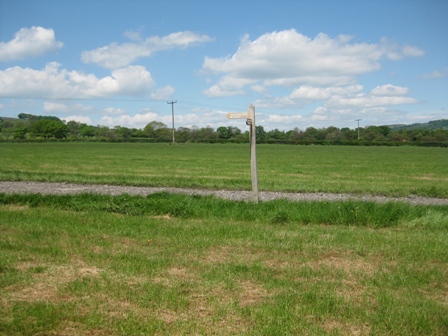
Head straight to left hand of two 5 bar gates (it is signposted footpath).
Through the gate the path goes round the right hand side of a cluster of trees before turning right passing a FP to a stile in a wall.
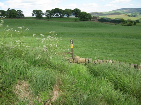
This gives you access to a field at the top right hand corner of which are the buildings of Oldhay Top. The path climbs diagonally right up the field to a stile (look for the waymarker post) in a wall 100m to the left of the buildings. After crossing the wall continue straight climbing to a stile in a fence. Cross the stile and continue to climb to the access road to Oldhay Top. At the track turn left and climb up the track.
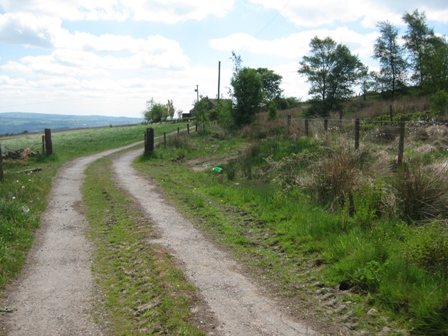
The track climbs for 500m to a T junction with a track at the bottom right hand corner of a wood. Turn left up the track heading for New Zealand Farm.
300m along the track you reach a gate opening. Turn right off the track (waymarker ) and take a path that takes you above the farm building. It has a fabulous view over to the Roaches and Hen Cloud.
Walk along the path with a fence marking the boundary to open country on your right. Opposite the buildings turn right through a stile in the fence.
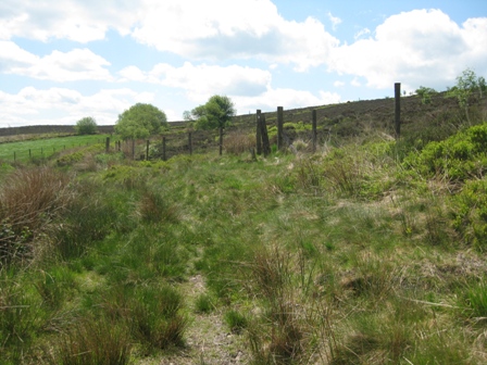
A path goes diagonally left through heather and bilberry moorland to the trig point that marks the top of Gun. The views were excellent. We had lunch out of the wind looking straight at The Roaches and Hen Cloud. An excellent view point.
From the top of Gun turn right and head due north. A good path/track takes you along the moor top, then along the right hand (eastern) boundary of a wood before leaving the wood and dropping down to a 5 bar gate.
Through the gate turn left and walk down a track.
After 0.6km the track turns sharp left. Here turn right (FP) through a 5 bar gate A good track drops down for 0.9km to a road at Gun End House.
Initially the track follows along the right hand side of a wall, past a coppice of trees, through two 5 bar gate before you hit the road (FP) at a sharp bend.
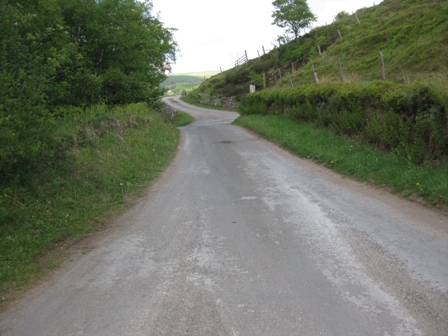
Turn left and walk along the road for 0.4km.
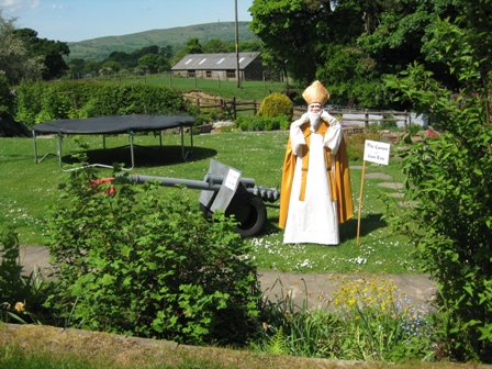
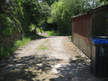
You pass a converted church, which had a cardinal and gun – cannon – in its garden, past two mice until you reach a left hand bend where you turn right down a track past a chair and a notice saying Santa is on holiday.
Immediately the track bends left, then carry on straight dropping down to Hawksley Farm on your right.
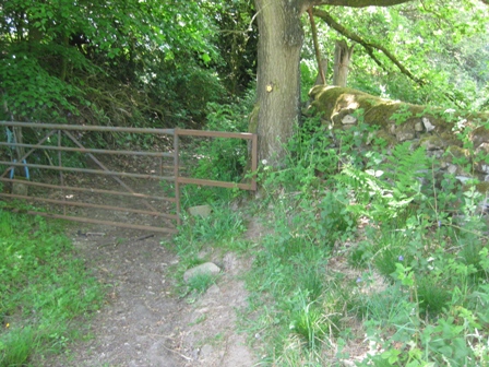
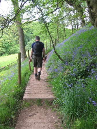
Go straight past the entrance to the farm, cross a stream and immediately turn right through a rusty 5 bar gate which gives you access to a walled lane/path.This is a lovely walk of 0.8km along a magical path with overhanging trees and lined with bluebells. I could imagine later in the summer it can become overgrown with grass and nettles making it a problem. Today it was lovely in the late spring sun. The path climbs to the left hand side of a hill and then drops down to a lane (FP).
Turn left and walk down the lane.
In 150m just before farm buildings and a road turn right (FP) and walk down a path on the left hand side of a field.
At the bottom of a field cross the wall via a stile to the lhs of a 5 bar gate, cross a track and enter a field through a stile. The path goes diagonally right to a stile at the top of a wooden section of fence. A farmer was dealing with a cow on the ground. He was handling it very carefully and doing something at its rear end; I thought he was helping it give birth but MP thought he was inseminating it. Worryingly, somewhat different views.
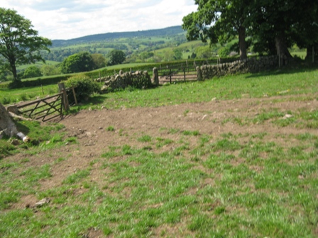
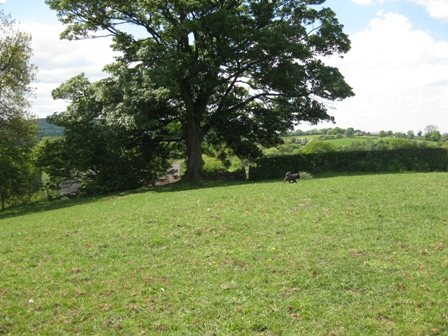
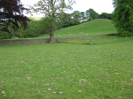
The path drops down across a field heading for stile in a wall at the bottom of the field by a large oak tree.
Through the stile a path drops down to the left hand side of some buildings. The track had been mown and the field was full of spring flowers. Beautiful. The path tracks round the left hand side of the buildings.
on the far side you cross a stile (FP) and gain access to the access road to the buildings . An old builder was painting the side of the building. ‘Slow job’ MP said. ‘Looks like you’ve been doing it for a week’. ‘No I started yesterday and should be finished in a couple of days’ he replied. MP lingered in discussion and the man was impressed that we had walked from Gradbach.
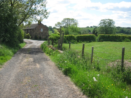
Walk down the track for 200m until you reach a cross roads. Here turn right (FP) along a good track that passes a number of houses, keeping to the left hand track, before you drop down into the Dane Valley.
After 0.8km you reach the Dane Valley Way which joins the track through a gate on your right. Here the track turns left and drops down to the river. Shortly the track divides. Keep right and drop down to Barleigh Ford bridge. As we were away from the hills it was warm in the valleys as there was little cooling breeze.
Cross the river and walk up the track.
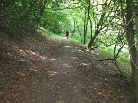
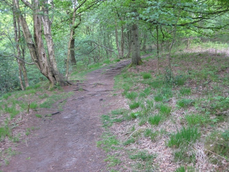
As it bends right go straight over a stile (FP) and take a good path that climbs through the bottom of a wood and then climbs diagonally right up the valley side.
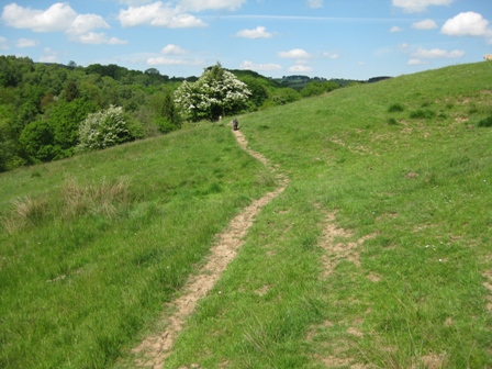
Several hawthorn bushes were in flower adding colour to the variegated greens of the trees and bushes. It’s a pleasant climb on a reasonable path with occasional way marker posts. There a number of wet areas that are crossed via wooden bridges ( completely over the top in my esteemed view; people clearly haven’t been on Black Hill).
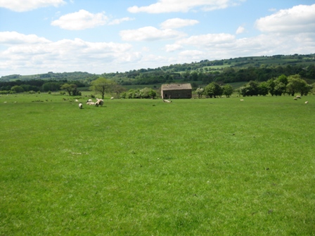
The path eventually crosses a fence (via a gate) and tracks up the left hand side of a fence. It was the second time I’ve been along this path and as before there were some lazy sheep sitting by the path as we walked up it. You could walk within a foot of them and they didn’t budge; not timid at all. Mind you they did look big fearsome beasts.
After ~0.5km of following the fence the path enters a tree lined gully at the end of which is a fence at the bottom of a narrow wood.
Cross the fence and in 10m look for a stile on the left. Over the stile the path climbs up the side of the valley diagonally right to the top right hand corner of the field. Cross into the next field and contour round across the top of an infant clough to a stile (way maker). Along here I started to get cramp again in my left foot.
Ahead are the buildings at Nettlebeds. The path tracks along the top side of a fenced field to a five bar gate. Through the gate turn left and walk down a track as the track levels keep ahead and cross a stile and go straight heading for a way maker post at the top of drop into the valley bottom.
At the way marker turn right and drop down diagonally right into a tree line valley with Shell Brook running along the bottom. Here cross a stream on a footbridge (not marked on the map). Carry on straight (north).The path bends and then climbs up the left hand side of the valley on a nice grassy path until you are above the trees. The path contours for a short length and at a way marker post go straight.
The path drops down through the woods again and into the southern end of Greasley Hollow. This is the beginning of one of the loveliest valley sections I’ve had the pleasure of walking in.
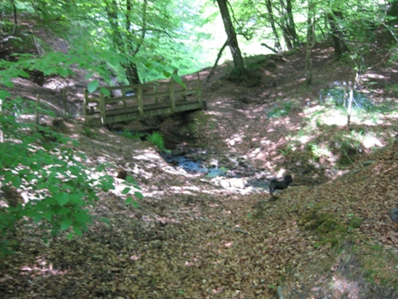
The path crosses a fence (via a stile) before dropping into the valley bottom where you cross the Brook via a substantial bridge erected by the N&PFS (good job lads).
On the far side of the Brook take a track, a muddy track that climbs out of the valley bottom, crossing another fence (via a stile) and then after leaving the wood tracking round the right hand side of a field with a farm on your left. A single farmer was cutting trees as we climbed the track; we gave him and his dog a bit of a shock as he wasn’t expecting us! The path eventually outturns at the farm access road.
Go straight up the farm track. But first you have to cross a stile to the left of a 5 bar gate and electric fence that stops you walking straight up the track. Another first. The track climbs steeply to a farm track and a metalled road. We decided to cut down the distance because of the cramp I was experiencing.
So immediately ahead on the far side of the road cross a stile(FP). Head straight to the left of the buildings of Lane Head. Ahead is a wall with the stile by an electricity pole. After crossing the wall carry on straight heading for a wall by some trees.
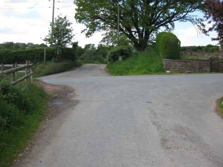
At the wall turn right and shortly cross the road via a stile. You now gain access to a road – Barlow Hill.
Turn right and walk down the road for 0.6km, past more scarecrows to a road junction by a church. Turn left, walk past the church and village school and after climbing to near the top of a hill turn right (FP) over a stile by a 5 bar gate.
The path drops down right to a stile in a wall at the bottom of Hog Clough. Over the stile the path takes you to a stile which crosses the stream. On the far side cross a fence via a stile.
The path climbs away from the Clough bottom diagonally left before tracking along the clough above woods. Eventually you cross a stile at the junction of a fence and the boundary of the wood.
This takes you into a field and you drop down to a stile in a fence. to the right hand side of the out buildings at Wincle.
Cross the access road to the buildings and down an access track which leads to a field; there is a walled allotment on your right.
Walk through the field heading for the right hand of four large trees at the bottom of the field.
Cross the wall via a stile and head straight, past a FP heading for the left hand side of a wall which marks the boundary of a large house with well kept gardens.
You cross a stile and drop down a field to a stile and a road just before the bridge over the Dane. Turn left and walk down the road and over the bridge. On the far side of the bridge (by the scarecrows having après ski) turn left through a stile by a 5 bar gate (FP Gradbach 2 ¼ miles via Dane Valley). The route sounds idyllic looking at the FP but after 16 miles the walk is not as easy as you might think. The path is easy to follow but undulates up and down the valley side following the line of the right hand bank of the river. Having said that it is a lovely walk in May with the sun out.
In the woods the blue bells cover the hill side in a blue hush. The birds were in song and when you are above the wood the views are lovely with Shutlingsloe dominating. Initially the path follows the line of a muddy track but through a 5 bar gate it opens out into a grassy plane which the path cuts across to avoid walking round a meander in the river, before climbing into a wood via a stile. The path climbs into the wood and then contours along the valley side.
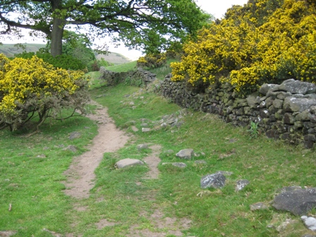
After 0.5km the path exits the wood at a stile and contours through fields of gorse in full bloom until it hits the access track to Back Dane.
As the track bends sharp right continue straight (way marker post) contouring on a grassy path with isolated gorse and hawthorn bushes in flower.
After 0.5km you hit some trees at the far side of which you exit via a stile and then follow a fence on your left; ahead are the buildings of Black Forest Farm.
On the path to the Farm there were three donkeys grazing and various breeds of rare sheep with lambs in the surrounding fields. The path goes up the right hand side of the farm and then at the far side drops down and into a wood . The path now follows much closer to the river bank than earlier, climbing away when the river cuts into the valley side.
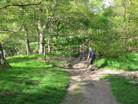
After 1km of some lovely wooded valley walking you drop down to a footbridge over Black Brook.
Cross the bridge and turn right up a track (FP Gradbach). In 20m or so turn left over a stile and on the far side turn left and take a path that drops down and then bends right and tracks the right hand side of a river campsite. At the top side of the campsite cross a wall on your right and immediately turn left and follow the right hand side of a fence towards the buildings of Gradbach YHA.
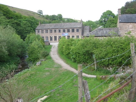
You gain access to the YHA grounds by a gate. Walk up to the buildings, which used to be an old mill, and then head to the right hand side of the building and the access road to the YH.
Walk up the access road by the right hand side of the YH. There’s a nice trough on the right. The road climbs to the main valley road where you turn left and in 250m you are back at the car park. As we walked up the access road and along to the car park we met 4 groups of 6 girls who were clearly out walking and heading for the YH. The first group were at the gate and having decided that the way forward was down the access road they began to run towards the buildings fully of the joys of spring. At least some of them looked like that others were heavy legged.
Summary
A lovely walk in extremely pretty countryside. The valleys and paths were the best I’ve been on in the Peak District. Perhaps it was the time of the year. The late spring flowers were all out carpeting the valley sides, especially in the wooded areas. Gorse and hawthorn were in full bloom. The views from the ridges were magnificent and were dominated all day by Shutlingsloe.
The paths are good and the route finding is relatively easy. There are some very popular places where there are a lot of people e.g. The Roaches and around Gradbach, but for the remainder of the day we didn’t see many people.
Home Start Point Peak District Books Related Sites Text Only Map&Summary Diary
Home Start Point Peak District Books Related Sites Text Only Map&Summary Diary