ThorntonRustCarpleyGreenStake MossDaleHeadThoralbyThorntonRust
7th March 2008
Walled Lanes, a Little Visited Dale and Extensive Views of Wensleydale
Who Went: DS
Weather: The weather was blowy, with hale on the higher ground, rain lower down and some sun.
Parking: Start from the car park at Thornton Rust. Not sure we were at the car park which I think was a little lower down than we ended up at.
Took 1hr 50m to get there and 1hr 30m to get back!
Started at 0830
The Walk
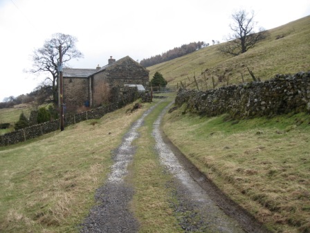
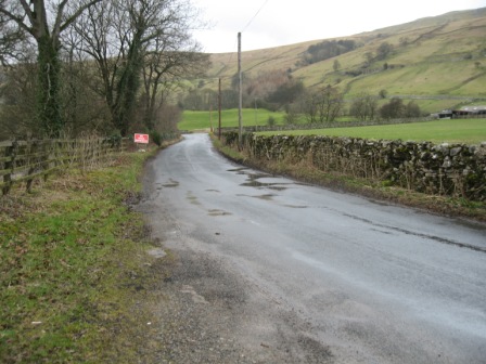
Leave from the top of the car park. Take the left hand lane at the start of which is a notice showing the access points to Addleborough our first objective of the day and the reason we did the walk. It was DS's intention to ascend it. So I obliged with today's route.
The lane climbs, passes through a gate and then splits. Take the left hand grassy track (FP) that climbs up the fell. As you ascend you can see the first objective in front of you.
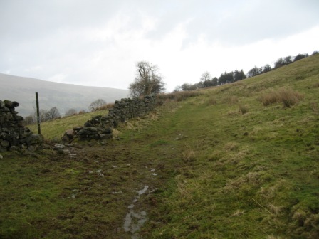
The gradient lessens and the path crosses a wall (5 bar gate) before traversing Thornton Rust Moor.
After a second wall is crossed (5 bar gate) ahead you see a FP pointing to a path on the right. This is the concessionary path to Addlebrough.
Take the path and cross a wall (ladder stile). Ahead is Addlebrough.
The path goes straight ahead, heading for the eastern edge of the fell. Ahead is a post, continue straight until you hit the corner of a wall.
Go straight and at a post turn left and ascend the fell. As you climb the path divides, take the right hand path. At the top of the fell is another post.
Continue straight and after crossing a wall a cairn is ahead.
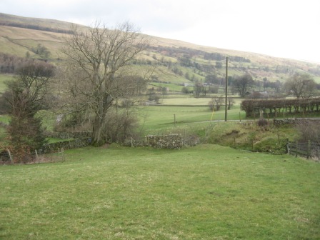
The views over Wensleydale are magnificent.
Continue ahead to the western edge. From here you have magnificent views of Raydale and Semer Water with Wether Fell in the background. It was very windy on top and DS decided he might like to paraglide from the edge. Fortunately he didn't.
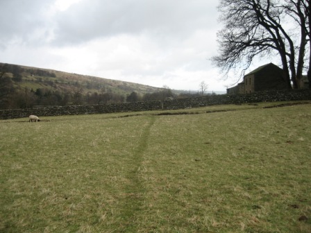
From the western edge return to the cairn, cross the wall and traverse to the pole on the eastern edge of the fell. Descend down to the pole by the wall, turn right and cross the Moor to the wall and the ladder stile. At the far side of the wall is the track from Thornton Rust and the finger post.
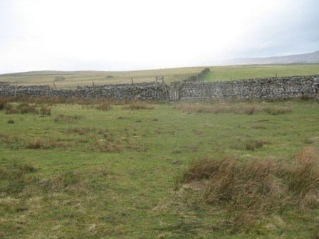
Turn right; the track follows the line of a wall (on your right). The track hits the wall at 5 bar gate; there is a temptation to go straight as ahead is a good track and another gate don't.
Turn right through the 5 bar gate and the track goes off left traversing the bottom side of a field. At the far side of the field cross a wall (5 bar gate) and continue ahead crossing another wall (5 bar gate).
As you round the edge of the fell ahead is Carpley Green and the bottom side of Raydale with Wether Fell on the far side.
The track descends to the junction of two walls. Cross the walls (5 bar gate opening) and turn left tracking down the right hand side of a wall until you hit Carpley Green Road . At the Road turn left and walk up to Carpley Green. The views back to the western edge of Addleborough are wonderful.
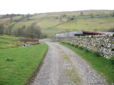
Walk through the Carpley Green complex and climb up Busk Lane to Stake Allotments and Stake Road .
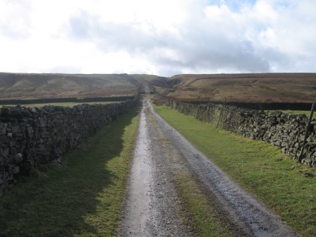
This is a wonderful walled green lane; unspoiled by 4x4's, and as climbed we looked back and there was Addleborough in the winter sunlight.
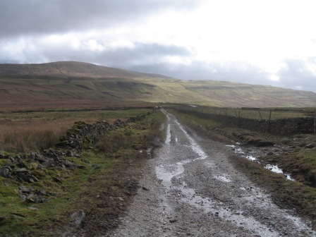
The lane climbs to the top of Stake Allotments and crosses 6 walls (via 5 bar gates) before meeting the Stake Road (FP). Turn left and head for Kidstones.
The track climbs to the top of Stake Moss and then starts to descend down Gilbert Lane to the B6160 at the Causeway.
From the top of Stake Moss the rounded hill of Buckden Pike can be seen in the distance.
At first it was in cloud and as we descended the cloud lifted and there was the Pike in all its glory. The final part of the descent tracks Cray Gill via Hell Gap.
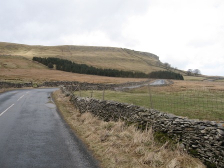
At the road turn left and descend down Kidstones Bank into Bishopdale. This is a lovely Dale, that is not often appreciated by the walker or traveler. At the top of the Dale, on the left as you descend, is Kidstones Scar.
About 1km along the road and just before the road starts to go into a series of bends turn right through a 5 bar gate ( with Dale Head on) FP (Ribba Bridge).
A bridleway tracks round the valley, crossing Kidstone Beck before turning down the valley and passing Dale Head. A good track now descends down the valley crossing 4 fields before reaching a house Howgill.
From here the path goes round the back of Howgill and subsequently tracks a wall (on your left) before hitting and crossing the bottom of two woods.
The second wood is Smelter Plantation.
At the far side of the wood, the path descends diagonally down two fields to the bottom side of a farm Smelter.
From the corner of a barn the path goes to the bottom corner of the field. Cross a wall (gate) and a stream via a footbridge.
At a farm track (FP) turn left and head towards the valley road. Just before you hit the road take a path (FP) off to the right.
The path crosses a field and then passes in front of a farm Myers Garth and continues across a further field before hitting Ribba Hall. The path goes behind the hall (date over the door is 1635) ie to its right hand side.
At the far end of the house, turn left down the track to the house and in 20m you hit the valley road B6160.
At the road turn left and walk back up the valley. In 50 m turn right up the farm track (FP) to New House.
At the top of the drive turn right (FP) and walk in front of the house.
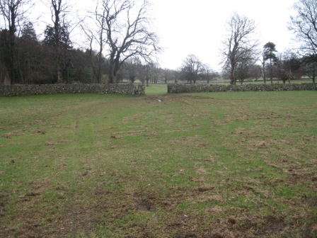
The path goes straight across two fields and then in front of The Rookery a big house in trees to your left.
A further two fields are crossed and in the third the path passes to the top of Hay Garth Barn. Above the path is a track. A farm worker was tracking us slowly, pulling some gear using a quad bicycle. What a racket. Past the barn the path begins to climb.
After passing through a further field, you climb to a wall before descending to the top side of Howesyke Farm. During the climb a hundred sheep in the field started to follow us. We looked like the Messiah leading his flock to the promised land. The only way we could stop them was to shut them in the field by closing a 5 bar gate behind us. The path descends to the top side of Howesyke's. Here, go through a 5 bar gate and proceed along the line of a barn. At the end of the barn turn right, down its side, to the farm access road.
Here turn left and walk away from the farm along the track.
As the track bends round to the right and heads for the valley road the path goes off left look for the stile in the wall ahead.
The path crosses another field exiting just below Crooksby Barn. A further field is crossed the path is above a barn.
In the next field the path climbs up to a wall/fence and a stile which you can see from the preceding wall.
The path then descends the line of a wall ( on your right) crosses another wall before crossing a thin field to its top right corner, by a barn. This marks the southern end of Westfield Lane .
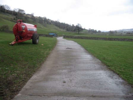
Good progress can now be made along the walled lane. At Littleburn Bridge the lane becomes metalled. Continue ahead until you hit a road junction just to the west of Thoralby. Turn left and climb up the road to Old Hall Farm.
By the farm turn right up a track, which climbs up to another track Haw Lane . At the Lane turn left and continue to climb. The lane shortly takes a sharp right then climbs and turns sharp left.
Where the lane turns sharp left take a path that goes off right (FP) and climbs on the lhs of a wall to a further wall.
Cross the wall, via a pedestrain gate, and take the left hand path which continues to climb to another wall. Cross the wall and continue to climb to the eastern end of Thoralby Haw.
The path then descends down to the bottom left hand corner of the field. Here a stream Haw Beck - marks the top side of the field. To the right of the corner where the wall goes into a fence there is a stile. Cross the stream and the stile and continue diagonally left, first climbing then crossing Aysgarth Pasture.
A further 2 walls are crossed before the path hits Flout Moor Lane .
Cross the Lane and continue ahead down the lhs of a wall.
The path drops down to Gill Beck. Cross the Beck and a wall on its far side then climb away from the Beck, before crossing open moorland on a good path that heads north west towards Thornton Rust.
The path crosses three fields before contouring below a line of shake holes. At the next wall, at St Mary's Well, the path drops down and skirts the topside of a wall. This takes you to the corner of a field.
Cross the wall and diagonally cross three fields to the lane above the car park.
Turn right and walk down to the car.
Summary
A good walk . Addleborough is well worth the effort as the views from the top are excellent. The walk was affected by the weather, it was wet and windy, but it was a good choice for these conditions.
The route finding is straight forward and the paths generally good and well signposted.
The lapwings and curlews were back, so the bleakness of the moors was put into perspective. In the valleys the tits, chaffinches, swallows and robins were active. Every wood seemed to have a rookery. The birds are amazing as they build their nests at the top of swaying trees. It makes you see sick to look at them.
We hardly saw anyone all day.
Home Start Point Dales Books Related Sites TextOnly Map&Summary
Home Start Point Dales Books Related Sites TextOnly Map&Summary