EdaleMamHartleDaleLittleHuckBradMoorRushopEdale
15th January 2009
Mist, dry valleys, rakes and good views
Who went: PNO, PH went to clear his father in laws house
Weather: Route was picked because of the poor forecast. The mist was down around 1000ft and dense. It cleared early afternoon to allow views from Bradwell Moor that deserved better. No photos early on because of the weather.
Parking: Park either at Edale main car park - £5 per day with toilets that are locked! Or free at Barbers Booth. I parked at PNO's house opposite the car park. It was free and there was a cup of tea before and at the end of the day.
The Walk
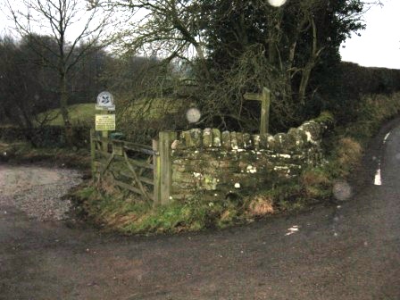
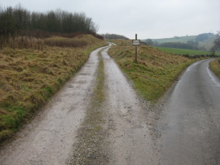
From the Edale car park entrance turn right and walk out of the village past the right turn off to the centre of the village. As you pass the last house of the right turn right up a lane leading to Hardenclough farm and Harden Clough (NT Sign & FP). After 0.5km you pass the farm and as the road turns down left to cross the stream carry on the right hand side of the road by a stile and walk up the right hand side of the Clough.
You cross a couple of stiles and then hit the road to Mam Nab from Edale. Turn right and climb up the road for 0.3km. In 200m as the road bend left turn right off the road and climb up a grassy bank until you hit the road again 20m below the summit. Walk on the road over the summit and take a path off left as the road bends right through a gate.
Drop down straight to a road 0.2km away. Cross the road and take a track ahead shortly it splits into three. Take the right hand track round the right hand side of Windy Knoll, on the left hand side of a wall. In 0.5km you hit a further road. Cross the road and take a track that leads to Rowter Farm. In 0.6km the track goes off to the farm. Continue ahead. In 150m you hit a wall carry on straight. In a further 0.5km the track drops down to another track running East/West. Turn left and in 150m you hit the cross roads of a number of paths.
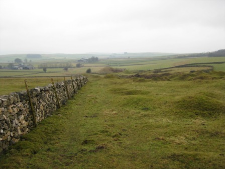
Continue ahead (east) on a good track. The track passes through a mined area – on both side of the track. After crossing a wall and in 300m the track bends left at the junction with two other paths. Cross a stile on the right and continue ahead – just south of east. The path crosses a couple of fields – look for the stiles and fences – and after 0.5km you hit a wall coming from the left hand side. This is the boundary wall to a road.
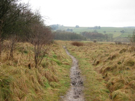
Track the road for 400m until you hit a wall as the road peels away left from the boundary wall. Cross the wall (FP) and take a path diagonally right across a field until you hit a further wall at a right angled junction. Cross the wall and walk ahead to a post in the centre of a field. This is the cross roads of paths. Turn right at the post and drop down to the bottom right hand corner of the field. Cross the road and take a path ahead (FP); drop down to the bottom of a dry valley – Green Dale. Turn left and walk down Green Dale to a road (FP). Turn right along the road and in 20m turn left at a road junction.
In 20m turn right on a path (FP) and diagonally cross a couple of fields. The path goes round the bottom wall of Hartlemoor Farm and tracks down the northern side of the Hartle Dale with a wall initially on your left hand side until you hit a long field with a wall on the bottom right before dropping down into the wooded bottom of the Dale.
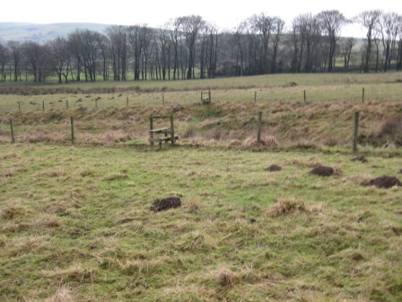
At the bottom of the field cross a wall – we didn't find a stile or gate – and gain access to a track. Turn right along the track and cross the bottom of Jennings Dale.
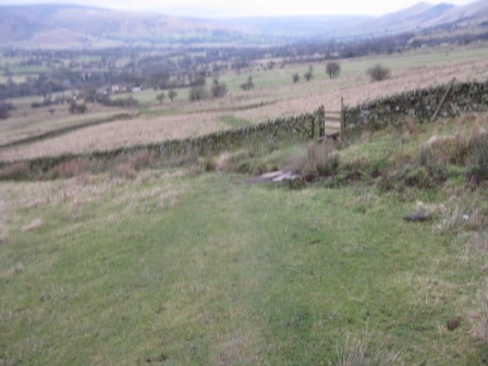
From the bottom immediately turn left and track down the southern side of the dale, with a wall above you on the right, until you hit a road (FP).
Turn right along the road – Tophole Road. In 200m just after a left hand bend (where a dale crosses the road – Green Dale on the left and Intake Dale on the right) turn right on a path.
The path climbs diagonally across a couple of stiled fields until you cross the drive to Intake Farm, up on your right. Continue ascending diagonally right up a field to a stile, then walk round the bottom of an enclosed area with geese – the first of many. A gate lets you into another field where you follow the left hand wall down to Lower Farm.
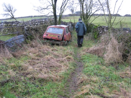
Opposite the farm you go through a five bar gate, where you turn left (FP) and drop down to a road.Turn right and in 10m the road bends to the right turn left down a lane by a house. As you walk down you walk past s further house and on the right is a range of rusting old cars (and I mean old – ‘60 & '70 models).
The lane leads to a path, by a Renault 5 (or its remains). Past the Renault you go through a stile and into a field. Climb diagonally right up the field to a stile, which leads to a walled lane.
Walk down the lane for 300m and into Little Hucklow. This is a nice village. The map says there's a pub, but it's clear that it's been closed for a number of years. Another one bites the dust.
Turn right and walk down the road, past the former pub (the publican's name is still over the door) and out of the village.
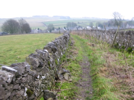
In 50m and just before the entrance to the village sewage treatment plant turn left over a stile (FP) and take a path up a field hugging a wall on your left. In 100m take a stile that crosses the wall on your left and walk diagonally right up a narrow field.
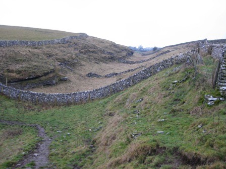
The top of a field drops down into a dry valley. Here the path turns left and crosses two wide and two narrow fields. After the second narrow field the path crosses a field to its top right-hand corner. Go through a 5 bar gate opening, turn right and walk across a field towards some house on the near horizon. Cross the field and a stile gives access to another field.
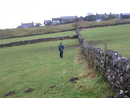
Follow a wall ( on your right) across two fields and then climb diagonally left up a bank in front of the houses to a gate by an HT pylon which gives access to a lane that runs down between houses and garages to a road. The village is Windmill. At the road turn right and walk out of the village. On the right are more rusty cars – Rover 3000 included.
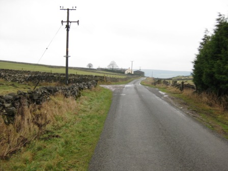
400m after leaving the village take a track off to the left (sign posted garden ornaments!). This is the start of a rake which you now follow for 2km. The tracks follows the right hand side of a wood and in 200m a notice says ‘ No access to Poyntoncross House' ( and the garden ornaments). Turn right on a track (Castleton Lane) barred by a barred gate.
The track takes you to High Rake mine workings and from here a path tracks round the right hand side of wood until it hits a lane (FP). Turn left and immediately turn right through a gate (FP) and take a path up the left hand side of Tideslow Rake.
This is a surprise, a marvelous surprise. At its height over 80,000 people worked in lead mines on Rakes such as these. The Rake is 30/50m wide and over 2km long. You can see the spoil heaps where the waste was left. The path climbs up the left hand side of the rake to a mast.
From the mast the path follows the right hand-side of a wall to the top of an Open Cast Workings (Fluorspar). The path goes to the right round the top of the working and then turns left (FP) and walks down the right hand side of the workings, crossing 2 fields to a lane.
Turn right and walk up the lane to a T junction opposite Bushy Heath Farm (with its fast turning wind turbine). Turn right and walk past the farm.
250m after the junction turn left (FP) up a lane that takes you into a wood. It's a strange place for a wood as it's clearly not an old wood. We had lunch here, out of the wind.
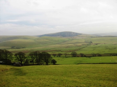
The track continues through the wood to a road. At the road go straight (up the road) and in 150m s the road bends to the right (and down the line of a Roman Road) turn left up a track (FP). It climbs up through a five bar gate and onto Bradwell Moor. The views from the flat top of the Moor (on a good day) are excellent.
After crossing the Moor you go through a gate and begin to drop down, passing through a 5 bar gate and through some sheep pens. Ahead you can see Mam Tor, Lose Hill and Win Hill. Past the pens the path goes down a wide fenced track to a stile. Cross the stile and turn left, walking down the side of a fence (on your left) past mine workings to the cross roads of a number of paths.
At the path cross roads turn left through a 5 bar gate and walk west up a track.
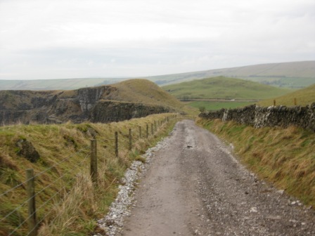
The track is good and easy to follow and in 2km hits a road. Half way along the track it begins to descend and on your left is the remnants of Eldon Hill Quarry.
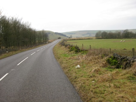
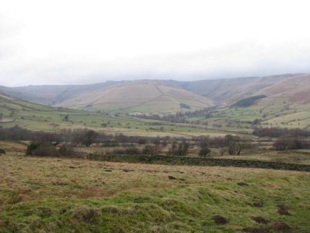
Turn left and walk down the road for 0.5km to the Bull Pit. The valley on the right is dry and few paths cross it and none walk up it. Its back drop is Rushup Edge.
The bull pit is a deep hole in the limestone surrounded by trees. It's the only feature on the right near the road. Turn right (FP), cross the wall and track round the right hand side of the ‘Pit'.
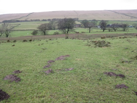
As the fence round the Pit bends left carry on straight (north) and begin to descend to a stile in a fence at the bottom of the valley. In the valley bottom there are pot holes to your right. Carry on straight aiming for a gully that emanates from a line of trees that leads up to the left hand side of Rushup Edge Farm. Before the line of trees you cross a fence (via s stile). Head for the junction of the trees and the gully, and then follow the gully on its left-hand side to the farm. Here we were greeted by a flock of mean looking geese.
Enter the farm via a five bar gate and immediately turn left and pass through a gate between two chicken sheds. The geese came towards us but were put off by a wall – thank goodness. Follow the right hand side of a wall until it bends left then carry straight and climb to a wall ahead. At the wall turn right and walk to the top end of the wall. From here a track goes off right and climbs diagonally up the field to a gate that gives access to the road (FP) from Castleton to Chapel.
Walk along the road for 0.3km and turn left (FP) down the access track to Hillside Farm where we were greeted by ….. More geese. Walk between the house and out buildings missing the geese, which hid behind 2 cars - to a pedestrian gate. Through the gate turn right and walk in front of the farm house and head across the fields towards a stile between the middle of four trees.
Continue ahead heading for Coldwell farm ahead in the middle of trees. The path crosses a fenced stream via 2 stiles before hitting the trees in front of the farm. In the trees a wooden footbridge crosses a stream and a path climbs up to the left hand side of the farm. On the far side of the farm take a track that passes through a five bar gate and follows the right hand side of a wall towards Rushop hall in trees in front of you. By some buildings a five bar gate gives access to a walled lane that leads to Rushop hall and stables. Walk round the top of the Hall on it's the access road to lane. Turn right and walk up the lane to the main road …..again.
Cross the road and walk up the concessionary path (FP) on the left hand side of the road wall.
After 200m the path leaves the road (FP) and climbs up a deep track – overrun by 4x4 enthusiasts – with a wall on your right. In 0.5km you reach a wall which is crossed using a five bar gate. Through the gate we met the only other fool out that day. He was foolish in more way than one. He was travelling fast towards us and as we met he stopped and asked us 'Which was the way to Chinley'. When we said that he was heading for Chapel and that Chinley was 2 or so more miles further than Chapel he thought there must be another way. PNO asked where he was heading for and he said Manchester so PNO suggested he walked to Chapel and catch a bus. With that he left us ….. somewhat bemused.
100m past the gate the path divides. Here we were greeted by a FP from which was dangling a shoe; only one shoe. Wonder where the other one went. Ahead the track climbs to Rushup Edge. We however turned left on a good track that marks the start of Chapel Gate. The track sweeps round the southern side of Rushup Edge with Brown Knoll and the airshaft of Cowburn tunnel on the left.
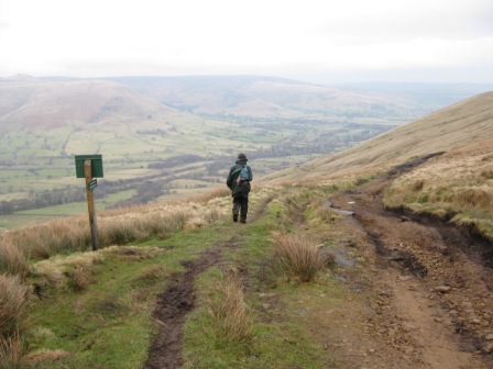
As the track sweeps round ahead is the Kinder plateau and Grindlow Knoll. 0.5km after the path divides the track descends steeply down a terrible track completely spoilt by 4x4's and motorcycles. The last remnants of a tarmaced road are still there but a lot less than 6 months ago. Half way down the descent, pass through a 5 bar gate. At the bottom as the track levels turn left through a gate (FP) and take a path that goes off diagonally right heading towards the nearside of Manor House Farm.
The path goes through a stile then round the top of a fallen gate post before heading down to a line of trees at the top of which is a gate. Turn left through the gate and follow the right hand side of the line of trees. Half way down pass through a gate and follow the left hand side of a fence that takes you round the left side of the farm buildings. PNO had delivered and collect the order for the farms seeds requirements. As he delivered there order they were making sausages from a pig they had bred. A day later he got a free gift of sausages – very nice if you can get it.
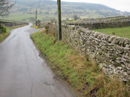
Once past the buildings the path crosses a stile and turns diagonally left across a field in front of the farm, crosses its access track and then continues diagonally down the side of a gully to a road (FP). Turn right and walk down the road for 200m to the Edale/ Castleton road. Turn left at the T junction and walk up to Barbers Booth. As you enter the hamlet turn left up a lane and past houses.
At the end of the houses take a track goes off left (FP) and cross the railway line. At the far side turn right through a gate and follow a track.
As the track bends left go right through a pedestrian gate and track round the bottom of a field. The path crosses a stream (FP) before climbing up to the bottom side of a farm.
The access road is crossed and shortly afterwards a stream. Through a stile keep right and follow the line of trees (on your left) through 2 fields until you get to an area by an outdoor centre. 20m further gives access to a road (FP). Turn right and walk down the road to the car park.
Summary
Home Start Point Books Related Sites Text