FairholmeHowdenCloughCutgateCrowHorseSwainBleaklowStonesAlportCastleLockerbrookFairholme
26 th Sept 2008
A great walk with great views of the upper Derwent and Alport Valleys
Self: Was due to walk with James in Wensleydale but he rang early evening the day before to say he was stuck in Paris as his flight to Newcastle had been cancelled – air traffic failed in UK bringing chaos to flights. Phil was unable to make it so decided to go by myself on a new route.
Weather: Overcast and low cloud early on but cleared later
Parking: Park at Fairholmes - £3 per day that goes to the facilities. There's toilets, a visitors centre and a cafe that is open all year round.
The Walk
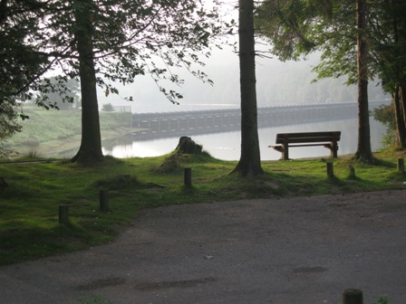
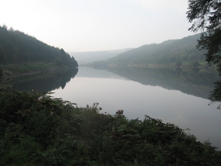
A great walk in what turned out to be good weather. The forecast was for sun but as I left Carlton it was misty, however on the road up the Derwent it was clearly lifting. By the time I left Fairholmes milky sunshine filtered through the cloud. It was very still and as I walked up the eastern side of Derwent reservoir to Howden the reflection of the hills in the reservoir were perfect mirror images – it doesn't happen often.
Start from the Fairholmes car park. Walk back to the visitors centre and take the path that skirts round the edge of the dam to a road that drops down from the roundabout on the main valley road, under the bottom of the dam and onwards to the eastern side of the reservoir. Turn right and walk along the road towards the dam wall.
After crossing the road bridge, turn left off the road and cut across the flat grass land in front of the dam wall to its eastern corner. From the bottom of the dam wall a stepped path climbs to the top of the dam where a gate gives access to a path. Turn left and shortly you hit the graveled road that runs down the eastern side of the dam. Keep ahead heading north up the road.
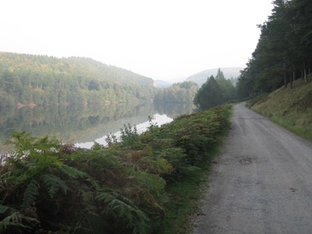
It's a lovely walk along the wooded road, whatever the season. In autumn, low threatening cloud can give the waters of the reservoir a moody sinister appearance.
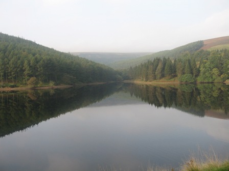
The track up the reservoir is good allowing you to make fast progress.
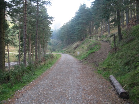
After the Howden dam wall the road bends down towards Howden Clough and close to the apex turn right on a good track leads up the Clough and onto the fells.
After walking through a wood the path changes to the left hand bank of the clough and passes a small man made dam in the stream.
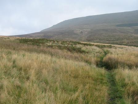
After a short climb the path bends north and tracks across the basin of Cranberry Clough below Howden and Wilfrey Edges and crossing Little Cranberry and Sandy Lee Cloughs. The path is not always clear and in the middle section it crosses a fence via a stile.The traverse of Cranberry Clough is longer than you think.
Eventually the path hits the Cut Gate path. On Cut Gate there were two shorted guys who said they had come from Langsett. On the traverse of Cranberry Clough the cloud came down blotting out the edge. I cursed because it would appear that the weather was going to spoil the day. I needn't have worried
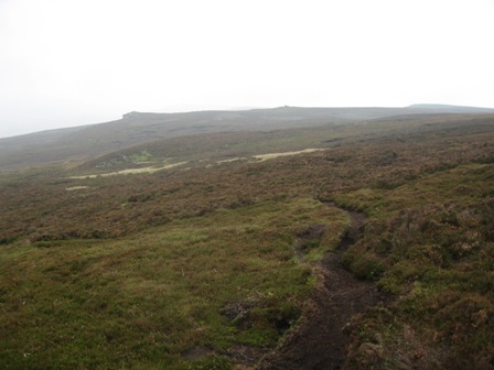
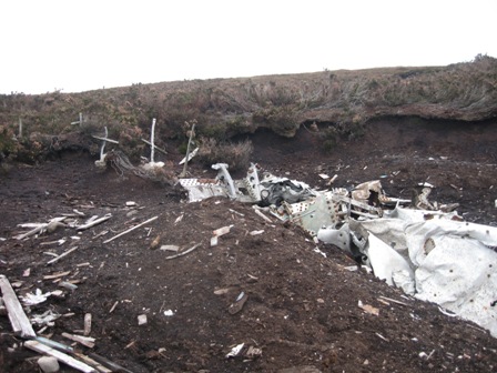
Turn right and ascend 10m or so then turn left by a cairn and head across the moors to Bull Stones. There are a couple of path options but you need to take the upper one. The path contours on heather clad moor to the top of Bull Stones. From the top of the Stones the path continues to contour the moor, crosses Broadhead Clough and then hits the bottom of some aircraft wreckage at a shooting butt.
Turn right and climb up 20m to the top of the wreckage where there are 5 crosses.
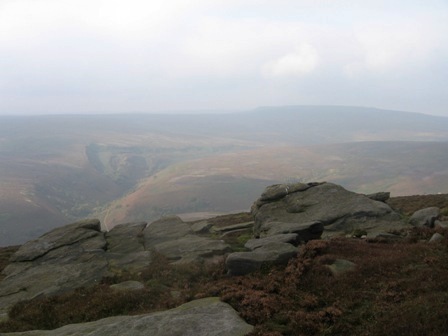
A path goes off to the left and climbs to Crow Stones. Take in the views of the Upper Derwent Valley and onto Bleaklow.
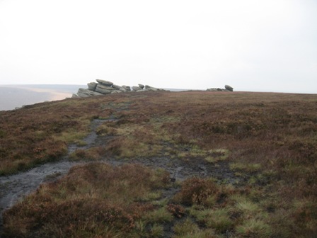
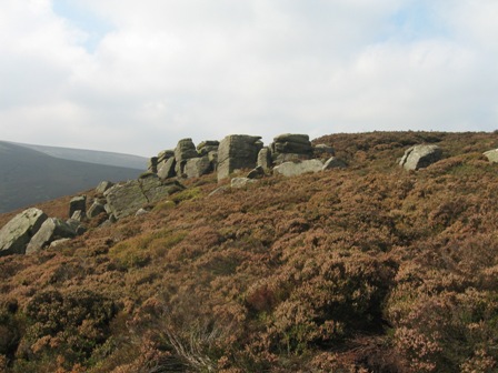
The path continues from the top of the Stones along to the distinctive formation of Rocking Stones.
A good path then gently drops over heather moorland to the top of Stainery Clough.
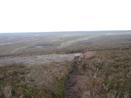
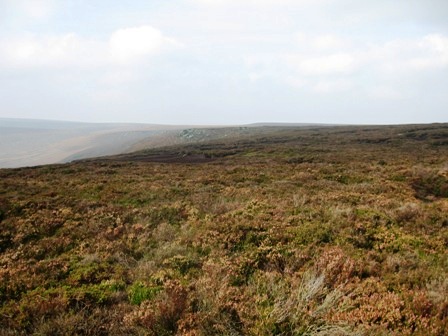
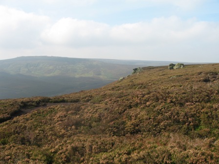
After crossing the Clough head the path climbs up the northern edge of Stainery Clough. It's not always clear where the path line is but keep to the edge and as the gradient drops you soon pick up a clear path. The views down the Derwent Valley as you approach Horse Stone Naze are wonderful. In the milky autumn sun you could be a million miles away from habitation as you look down on the moors strecthing out before you.
The path eventually leaves the edge and heads towards the lone Horse Stone. From a distance and across the valley these Stones look like a lorry, although when you get to them they are clearly just weather beaten grit stone. From Horse Stones there's only one path and that goes to Horse Stones Naze and views over the Derwent Valley. Its worth the detour.
From here the route contours round the head of Coldwell Clough over pathless heather moorland.
Don't lose height and eventually you pick up a weak path that takes you to unnamed stones. There is a path of sorts along the top of these stones heading due west but this soon peters out and you're on your own again until you hit Hoar Clough.
Cross the top of Hoar Clough and pick up a path that climbs up to Shepherds Meeting Stones.
From here the path continues to Dean Head Stones where you can take in the views of Barrow Stones and Swains Greave.

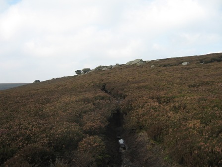
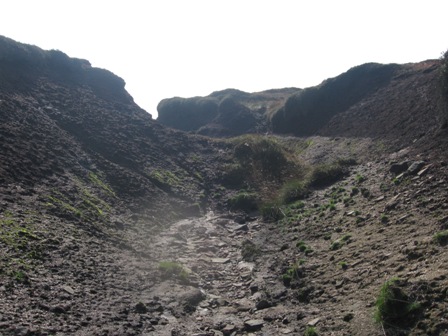
Again the path peters out at Dean Head Stones and you need to head just north of west climbing up to a fence and stile at Swains Head. Here you meet a good path that comes from Howden Edge and Featherbed Moss. The going on this section is reasonably rough but it gets worse, particularly after a period of rain.
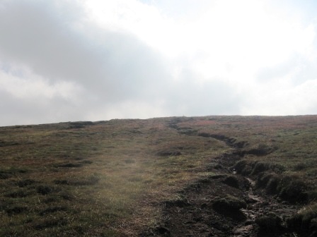
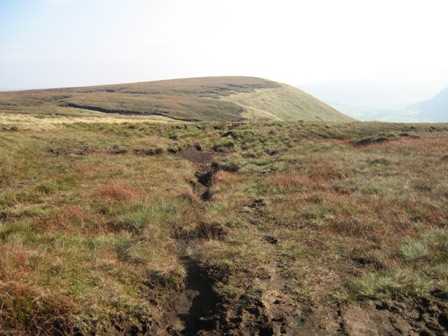
From Swains Head there is a good path that follows rotting boundary stakes heading just south of west for just under 1km. Here (GR SK 125 981) the path and stakes turn due south and climb up a sandy bottomed shallow grough onto the top of the moor between Barrow Stones and Bleaklow Stones. The going on this section can be tough especially after a wet period and my heart rate was close to the maximum.
The climb up the grough follows the eastern edge of Far Black Clough (on your right) with Swains Greave on your left. There are a couple of stakes to mark the way but at the top as the gradient eases there is a clear stake which you can see as you ascend.
Having reached it carry on climbing up the grough until things flatten out then come out of the grough and look for the stakes. You came see canes with card markers on the horizon that marks the flat top of the moor.
You can see Grinah Stones ahead left and Bleaklow Stones above you on the right.
Turn right and follow a couple of stakes up to the Bleaklow Stones. There is a weak path to the Stones.
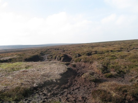
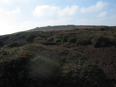
At the Stones the real wilderness of Bleaklow starts. It is a wonderful sight. A desert of peat dunes that is currently getting a grass make over; spoiling a beautiful peat wilderness. It's here I met a man - the fatest one I've ever seen in such a remots area - looking up at the sky with binoculars.I left the Stones and walked 50m before sitting down for a drink. Two guys approached from Bleaklow head. They asked if this was Bleaklow Stones. I pointed them in the right direction. One does wonder.
From the Stones head due west on a path past a stake. Continue west and after a couple of hundred meters, at some flat stones just after a stake, turn left and follow a grough down. At the bottom is a fence and a gate, plus a couple of stiles. Through the gate a path leads across The Ridge and onwards across Westend Moor to a trig point.
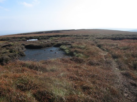
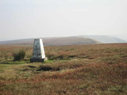
The path is OK, if somewhat boggy, until you get to the watershed between Miry and Ravens Clough. Here you have some groughs to cross and as you ascend to the trig point the path is not distinct, and route finding can be difficult when the mist is down. You need to head south east keeping an eye on the gradients to ensure you aim for the top of the moor
A good path takes you from the trig point onwards to Alport Castles.
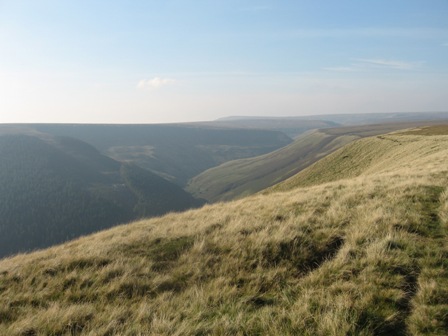
After 0.5km you join the eastern edge of the Alport Valley and can look down towards Lose Hill, Win Hill and beyond.
But take time to look back up the valley towards Bleaklow.
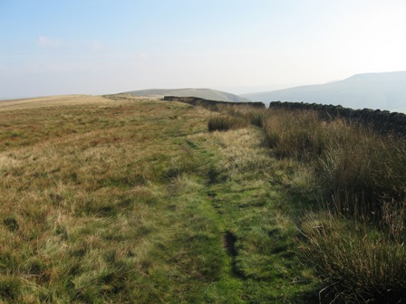
The going is now easy on a grassy track. After 0.75km you hit a wall and follow this for further 0.25km to Alport Castles.
In any circumstances this is a place to stop and take in what is supposed to be the largest land slip in England.
The route continues down the line of the valley edge; some of the path is paved but the going is always good.
The views down the Alport Valley to Lose Hill and beyond are magnificent especially in watery autumn sunshine.
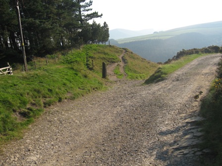
Eventually you reach Rowlee Pastures and the track begins to descend to Woodcock Coppice. A couple of walls are crossed then you hit a good track that rises from Hagg Farm to Lockerbrook
At the Coppice, cross the Hagg Farm/Lockerbrook track and ahead take a new path – FP Fairholmes - that takes you down through the wood to the main road along the Derwent valley.
It's quite a nice descent and well waymarked, although it can be slippery in the wet because of the tree roots and the gradient. Initially the gradient is steep but after it has eased turn left on a track (waymarker) that takes you to the road (FP).
Cross the road and take the path (FP) that drops down towards the reservoir bank. As you get to the bank cross a stream via a footbridge, turn left and climb up to a path where you turn right and walk to the bottom end of the car park and a well deserved drink and flapjack from the cafe.
Summary
A great walk but one for good weather.
The route is mainly on paths but care is needed especially on the section from Dean Stones, over Swain Head, onto Bleaklow Stones and down to The Ridge. After a wet period the paths are always muddy as most of the route is over peat moors. Its a walk for a sunny day after a dry period.
I was tired at the end. My veruka was hurting and the old legs were more tired than on the previous week in the Dales nb the distance was about the same and the max hr and average hr were similar.
The views all the way round the route once on the tops changes constantly but for me they are magnificent. In particular the views down the Derwent from Crow Stones and horse stones are worth the wait. The magnificence of Grinah are best appreciated from The Ridge where the sun was in perfect position to highlight their proportions.
On Alport were 3 kestrels and a buzzard floating around on the thermals. Wonderful. On the track along the Stones route I nearly trod on a hare that short off like a scolded cat across the moors.
Autumn is a great time. The colours, some green but mainly browns, reds and yellows of the leaves on the trees show the countryside at its best. The moors show a different side to the cotton grass of the spring/summer. The heather is past its best but there are still flowers on some. The ferns are beginning to turn brown and dying back. Approx. 15% of the trees had started to turn. Oak beech and chestnuts were brown.
This walk is best appreciated on a day like today. Good views, few people and some wildlife
The great sadness is that the peat hags of Bleaklow are disappearing as the NT introduces heather, cotton grass and keeps the sheep away. The peat desert is becoming green.
Home Start Point PeakDistrict Books Related Sites TextOnly Map&Summary
Home Start Point PeakDistrict Books Related Sites TextOnly Map&Summary