LowBradfieldDukesRoadBackTorrLadyInnMoscarDaleDykeLowBradfield
12th September 2008
Who went: DN,PH, PNO out beating (birds not wife) on Ronksley Moor
Weather: Overcast all day with a hint of rain that never materialized. It was warm and even on the tops you could walk with just a T shirt provided you kept going.
Parking: Park by the cricket ground. The map says there is a car park. Toilets with paper are opposite the village hall at the top side of the cricket pitch. Parking is free. Note good old PH went to the cricket pitch car park; fortunately he saw us just – on the opposite side of the pitch – as I was about to leave him a note.
The Walk
Parking is on the road (Woodfall Lane) that is a boundary to the cricket pitch. Being the first there and early I had a wander round. At the bottom side of the cricket pitch is a bowling green. One of the members was out early - 08.15 – brushing the dew off the grass in preparation of matches later in the day. They had finished by the time we got back.
Eventually the others arrived and being the first walk after the summer break we reminisced about the wettest August on record. After a short discussion – that was similar to the length of the sunshine in August - we set off. With the cricket ground on the left walk up the road.
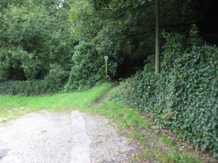
As the road bends right and climbs up the hill towards High Bradfield go straight on a track and walk past the hall on the left. As the track peters out ahead is a footbridge over the stream. Take a path on your right (FP) that climbs up the valley side. The Finger Post in Bradfield Parish are the best I've seen anywhere. A number are cast and all have Bradfield Parish on them.
The path is a first in a wood as it climbs some of the path has stone steps and crosses a wall via a nice stile. Eventually the path ascends to a road. In the last 50 yards is a house on your left. Adjacent to the path are gates to the house; today it retained 2 large brown mastiffs. Cross the road and climb some steps and walk through a metal gate giving access to a field.
The path follows a wall(on your right), bending to your right, crossing a fence, via a stile, before climbing up towards the church at High Bradfield which you can see in the distance. As you get beneath the church the wall bends right. Above you in the corner of the field there is what looks like a gate. Head for it. The gate turns out to be horizontal wooden slats. Climb it – many people have done this – and you gain access to the graveyard.
Turn immediately left and take a path that runs down the side of the grave yard with a wall on the left hand side. At the bottom of the graveyard cross a wall. A good path contours round below a Bailey Hill and into an through a wood The path picks up a wall and then hits a wall coming down the valley.
H
ere take a sharp left turn and drop down with the wall on your left to Rocher End Brook. Cross the Brook and follow a path that goes left and then straight following the line of a wall (on your left). The path contours below the Rocher Wood crossing a wall.
The path slowly drops down to Sick Brook at the barn at Rocher Head. From here follow a track that crosses the brook and climbs to Smallfield Lane.
Cross the lane and take a path that contours the edge of Cowell Flat. The path crosses a wall and then follows the right hand side of a wall before following the line of a road until it hits a track . Turn left and shortly cross a road.
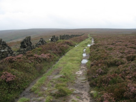
A good track then flows the top of Hurkling Edge before crossing Rushy Dike and climbing Flint Hill. Here the path turns south west and crosses the moors before dropping to the top of Abbey Clough
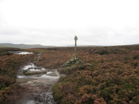
The most surreal sight is a post in the middle of nowhere with a sign telling you that the bridleway stops here! What's someone going to do if they get this far on a horse and find that they can go no further.
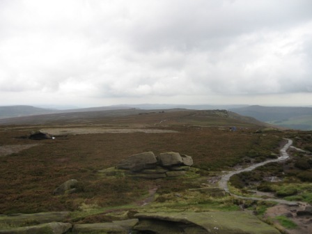
From the top of Abbey Clough the path is flagged and follows Cartledge Stones ridge to Back Tor.
From Back Tor the path heads south passing Cakes of Bread, Dovestone Tor, Salt Cellar, and Wheelstones. We stopped here and had lunch. Peter tried to convince us that he was tired by laying down spread eagled on his back. Needless to say we ignored him.
From Wheelstones the path drops down the Whinstone Lee Fields where it meets a path coming up from Ashopton.
Here turn left and take the path down to Cut Throat Bridge. The path hits Highshaw Clough before hitting the Snake Road and in 30m turn left, cross the Clough and contour above the Snake road heading for Moscar House. After 600m the path crosses another path and then climbs up a track to Moscar House.
The track passes on the right hand side of the house through 2 five bar gates. A good track/path gently climbs to the Strines Road. Cross the road and go straight up a lane. In 50m opposite a gas pumping station turn right, pass through a 5 bar gate and climb up the walled Moscar Cross Road. Its a wide walled grassy track and the climb is short and sharp. At the top the track turns right and drop down and take a track that goes off left and passes Moscar Cross Farm.
Continue straight through a couple of 5 bar gates and as the track starts to climb take the left hand track that tracks round the eastern side of Lodge Moor.
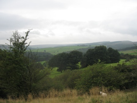
The track is known as Stake Hill Road as it crosses Lodge Moor and Ughill Moors. The views begin to open up across Bradfield Dale towards Bradfield Moor and the countryside we had tracked in the morning.
The track eventually drops down to Wet Shaw Lane. Here turn right and in 30m turn left on a path that tracks the edge (on your right) of a harvested wood. The path eventually drops down to a further lane – Hoar Stones Road.
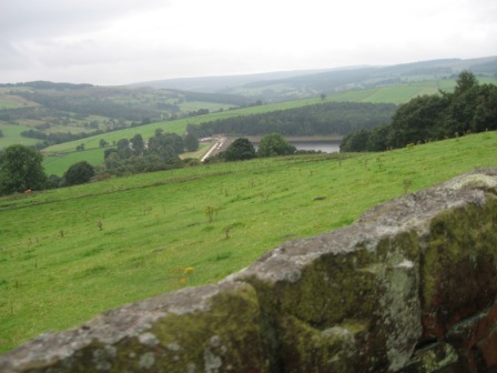
Cross the road and go straight following the line of a fence ( on your right) to the top of an edge that looks down on Dale Dike and Strines reservoirs. The views here are excellent.
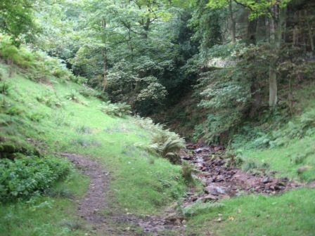
Drop down off the edge to Blindside Lane . Cross the lane and take a path that drops down steeply on the left hand side of a wood. Care is needed on the path because it is rutted with tree roots which are slippery in the wet. The path drops down to another track running along the side of the valley. Turn right at the track and cross a wall by a 5 bar gate that gives you access to the wood.
A good, if muddy path leads through the wood and eventually climbs up to Blindside Lane.
Turn left and walk down the lane which drops down into Bradfield Dale. In just over 1km the road crosses Dale Dike at Annet Bridge.
Just before the bridge take a path (FP) off to the right. This path tracks above Dale Dike and in 0.5km turns into a track which eventually outturns at Mill Lee Road just above a derelict waterboard building. It looks completely of of keeping with the pretty village of Bradfield. Turn left and drop down the lane , cross Dale Dike and turn left and follow the lane round to the car.
Summary
An excellent walk. The gradients were not severe and the paths – except around Rocher Wood – were good and easy to follow. The views on the tops are excellent. The buds of autumn is upon us but it was still green. Not much wildlife but we did find a dead rabbit on the path with its eyes – so it can only just have pegged it and the evil crows/magpies have not got to it yet.
Peter moaned and groaned all day but as usual he enjoyed himself. He failed the test by falling on the tree roots during the descent to Andrew Wood. The views from above the wood over Dale Dyke Reservoir are excellent. From here to your left is a tower – folly – from Sugworth Hall. Dave told us that one of the sons of the owner built the folly and used to play his violin in the afternoon – fact or myth?
Dale Dyke dam burst in the 19 th century during heavy rain storms and the ensuing flood killed a number of people and devastated buildings in the valley. One of Peter's friends has written a book on the incident.
Home Start Point Peak District Books Related Sites Text Only Map&Summary
Home Start Point Peak District Books Related Sites Text Only Map&Summary