CrowdenPadfieldOldGlossopDogRockHigherShelfStonesBleaklowLawerenceEdgeStableCloughCrowden
4 th July 2008
Who went: DG, PNO with PH waiting for the TV repair man. Others working or no answer
Weather: A sunny day that required sun cream. A perfect day for walking
Parking: Park at the car park at Crowden which is free. There are public toilets nearby.
The Walk
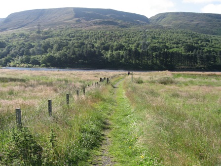
From the back of the car park retrace your steps to the car park entrance and the main Woodhead road. Turn right and cross the road. In 20m take a concessionary path off to the left through a gate (FP). The path takes you down to the edge of Torside Reservoir where it turns right crosses Crowden Brook, via a concrete bridge, and follows the bank of the reservoir west with a water course on your right.
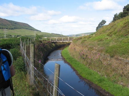
After 0.5km the path crosses the water course via a bridge and climbs up and into Tinsel School Wood. Once in the wood the path continues west and parallel to the Woodhead Road above you and reservoir bank. In a further 0.5km after crossing a wall at a gate the path joins the Pennine Way as it drops from the road. Turn left on the path which drops then climbs to a gate which enters a wood. The path continues west running just below the road.
You cross three walls before exiting the wood above the dam wall through a gate. The path drops down over a track and water course (FP) before joining a track on which you turn left and cross the dam wall.
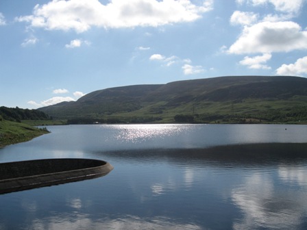
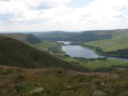
The views up and across the reservoir to the northern edge of the Bleaklow Plateau on a still day are magnificent. Today was such a day.
At the far side of the dam turn left up the track which takes you to the back road to Glossop.
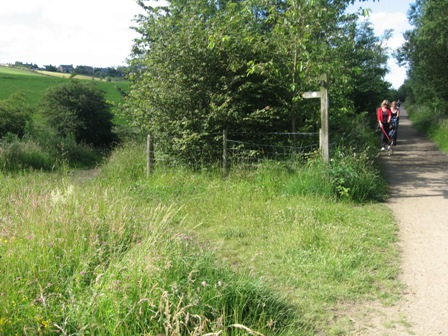
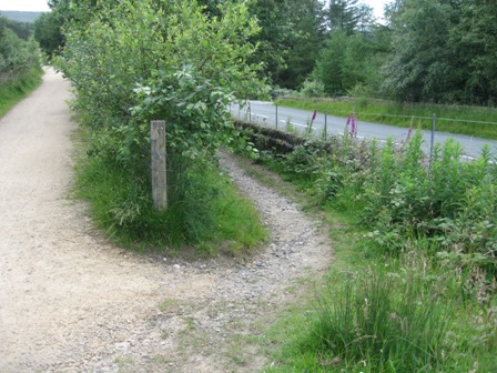
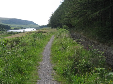
At the road turn right and pick up the Longdendale Trail (FP) heading west to Hadfield. You can make good progress along the trail. It's flat and frequented by dog walkers, cyclists, pram pushers and joggers especially as you near habitation. The trail runs down the southern side of Rhodeswood and Valehouse Reservoirs.
After 2km you go under a road bridge and in a further 0.7km take the left hand trail where it splits (FP) above you is the village of Padfield.
In 20m turn left through a stile and take the right hand path which climbs up to a wall which you follow up the fell-side to a walled track.
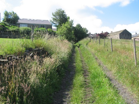
At the track turn right and walk up to and between two houses to hit the main road through Padfield. Turn left and walk 50m up the road. Turn right down the side of a row of terraced houses and in 20m cross a stile (FP) that gives you access to a field.
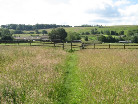
The path follows the line of a fence towards Little Padfield farm. Ahead is fence with 2 stiles. Take the left hand stile and cross a field in front of a stable to a gate which gives access to a track which takes you down the side to the front of the farm. Young goats were in the field and started nibbling at our legs trying to get out of the field as we left by the gate. A stile by the front of the farm gives access to the farm access road.
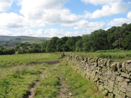
Turn left and walk to the far end of the farm and take a path (FP) on the right that tracks along the left hand side of a wall.
Follow the line of the wall to its end. Here the wall splits into two. Follow the right hand wall which climbs up to the boundary of a cemetery (on our right). The wall out turns at a building.
Go through a gate and turn sharp left following the right hand side of a wall to the back of a building. The path continues ahead down the left hand side of the building to a road. As we got to the building a man was weeing against the building wall being watched by a dog from an open window. He clearly didn't see us but was friendly as we passed him. The dog took exception to our presence but didn't drop down to ravage us!
Turn right and walk down the road for 20m.
Take a path off left that follows the right hand side of a wall down towards Swineshaw Reservoir. The path takes you to another wall at the junction with the boundary wall of the reservoir. Cross the wall and turn immediately right (south) and track down the left hand side of a wall. The wall/path bends round and hits the edge of a wood. At the wood turn right, through a fence and follow the edge of the wood south. The path now starts to drop down towards Old Glossop and after crossing a wall via a stile (look for the way markers) you can see the buildings at the bottom of the slope.
The path follows the left hand side of a wall. As we descended we had to walk through an angry looking herd of cows. We needn't have worried. At the bottom of the hill the path levels and passes through a gap in a fence before tracking a wall and a stream on your right and hitting the end of a lane and houses of Old Glossop.
Continue ahead into a housing estate and at a cross road go forward and shortly on the right take a genal/walkway with a railing that leads down to a road (Wellgate). On your right is Old Glossop church.
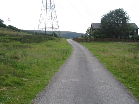
Turn left down Wellgate and pass a car park on your right. In a couple of hundred meters you hit another junction and turn left onto Hope Street. The street climbs up with houses on your right and half way up the hill a small conurbation of factories – including a brewery. At the top of the hill the road takes a sharp right and drops down to the end of another road coming from the right. A factory is on the right and bus terminus on the left. Turn left onto a track (FP) and walk away from Old Glossop. Ahead of you is the next destination; the ridge of YellowSlacks.
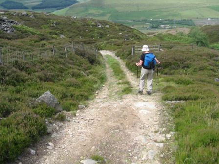
It's a good track that heads into the hills and away from habitation. It follows the line of Yellowslacks Brook – on your right. At the first 5 bar gate (notice on saying private road keep to path), take a stile off to the left and begin the climb up Yellowslacks; there's a wall on your right and a fence on your left. After 250m you cross another wall via a stile and continue climbing crossing another wall (partly broken) before crossing a fence via a stile at the top of the steepest part of the ascent.
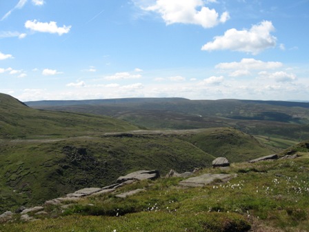
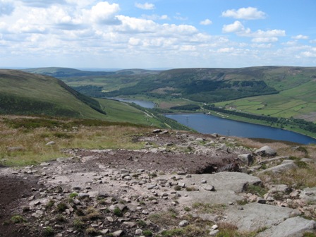
The views down the valley towards Glossop and across the moors towards the Snake Road and Kinder are worth the climb.
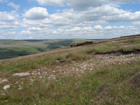
A good path now tracks the edge of the Yellow Slacks and good views of the Brook and its southern side open up.
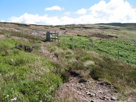
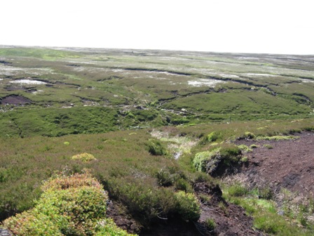
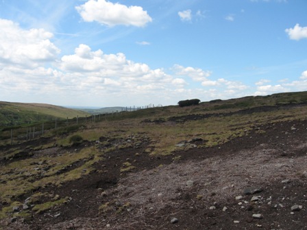
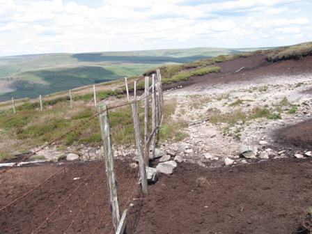
As you go further onto the moor the grass and heather are left behind and you enter the paradise of the peat moor. The unfortunate part of this is that the powers that be are attempting to revert the wonders of the peat desert back to grass and heather. In an attempt to do this the high moors are banning sheep with fences and seeding the peat with grass and heather. Soon you cross one of these fences via a stile. A good path follows the edge of the valley.
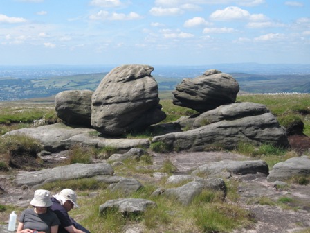
Soon you can see the pronounced features of Dog Rock. The path hits the line of an old fence which it then follows to the top of Dog Rock.
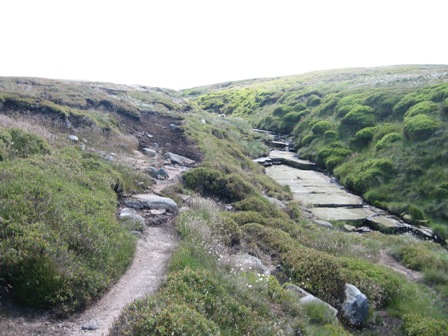
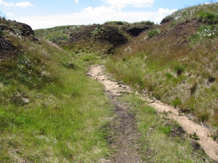
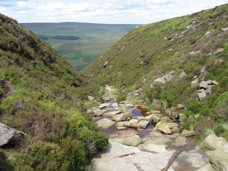
It continues up the northern side of the valley and as the Brook ascends the fell it meets the path and the path tracks the Brook up towards its source. As the path and brook meet the bed of the Brook is slabbed – a feature common amongst the upper reaches of many Dark Peak streams/cloughs/brooks.
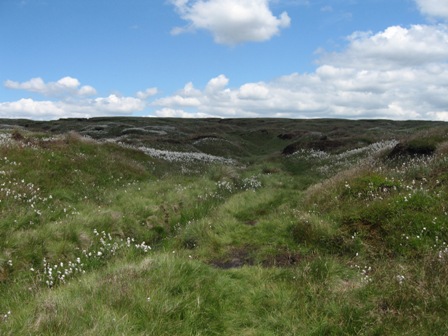
As you approach the top the cotton grass becomes more evident. Eventually ahead you see Herne Stones and on the horizon to your left is Wain Stones – a couple of rocks on the skyline. Here the stream divides; take the main branch to your right which heads south(ish) and follows the line of sandy bottomed groughs towards Higher Shelf Stones – you can't see the trig point or stones until you arrive at the top.
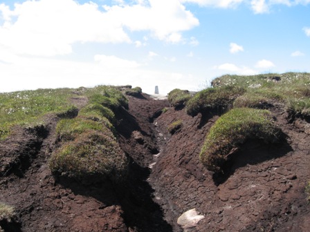
As you near the top the sandy grough opens out and ahead is an area of peat. Follow the main grough and as you ascend you can see the trig point.
The views from the top are excellent. You have one of the better panoramas in the Dark Peak, with views of Kinder, Bleaklow, the Cheshire plain and down Doctors gate towards Glossop. The day was clear and we could make out in the far distance Snowdonia. The peat moors were covered in cotton grass giving them a surreal feeling.
On rocks close to the trig point a number of people have chiseled graffiti on them dating back (if they are true) over 170 years.
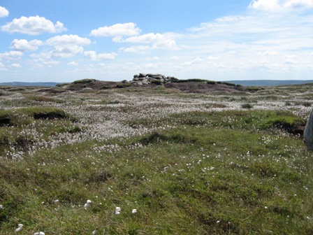
From Higher Shelf Stones our next aim was Wain Stones. We decided retrace our steps by heading north along the sandy bottomed grough – ahead is Wain Stones on the horizon. As the path turns west you can continue south and climb up the groughs to the Stones. However, we decided to head east towards Herne Stones which means that you have to turn right and plod over the wet (even after a dry period) peat desert towards the pronounced stones. Close to the stones was the highest density of cotton grass I've experienced – wonderful in the bright sunshine.
From the stones head North West on a path that climbs up to Wain Stones. The whole of this area is being regenerated so don't trip over the pegs holding the matting down.
At the Stones a couple was sitting back to back eating their lunch; they made a good front piece to the more famous kissing rocks.
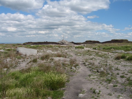
From the rocks head north east – the path is marked by a cairn - and in a couple of hundred meters ahead you see the large cairn topped by a distinctive pole. I always feel a sense of achievement on arriving at this iconic place. My concern is that its status is clearly changing as the authorities try to re-grass/heather it. It's only a short distance from Higher Shelf stones but the views are very different. Here the views are not great but you can see Black Hill and Kinder – just. The rest of the view is the peaty plateau of the Bleaklow.
From the summit cairn head follow the Pennine Way heading just west of north descending on a path that drops down to a fence and stone marker (for the Pennine Way).
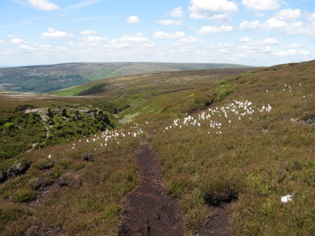
Here the path turns left and heads west dropping along the line of Wildboar Grain; keep to the path on the right hand side of the stream. Ahead the view was magnificent with white cotton grass covering Harrop Moss. The remains of Torside Castle are quite distinct. After a km the path is paved and the grain hits the upper reaches of Torside Clough. You have 2 options. Drop down and cross the Clough to the Pennine Way which is on the far side (western Side) of the Clough and descend on a good path (it must be as it's the PW) to a point in the Clough where a fence comes from the eastern side. Here you can drop and cross the Clough following the line of the fence.
However we took the manly option and kept to the eastern side. At first there is a path but as you progress it becomes indistinct.
The views on the far side of Torside Clough with the cotton grass on Harrop Moss were magnificent. Who says peat moors are boring?
Without losing too much height head for the fence and follow its line – we joined the fence by two large distinct heather covered peat tussocks. Shortly afterwards you come across another fence coming from your right – there is a stile at the fence junction (see reccy walk). Turn right and follow the line of this new fence. In a few meters it takes a sharp left and then continues over to Torside Naze.
Here it takes a sharp right turn (there is a stile at the bend) and heads north east along the northern edge of Shining Clough Moss with the Etherow Valley to your left. The views across and down the valley are excellent.
Eventually the fence takes a sharp left turn.
We continue in a north east direction following largely the line where the grassy valley slopes meets the peat moors – it's easier to walk along this boundary.
Eventually you hit Wildboar Clough and a fence that tracks its western edge. Turn right and follow the line of the fence up the Clough. There are a number of stiles in the fence but a reasonable path follows the right hand side until you are far enough to cross the Clough easily. At the top of the Clough is a waterfall – it is easy to cross here. On the far side of the Clough turn left and follow a good path down the eastern side of the Clough.
Above Rollick Stones the path bends right – north east – away from the Clough and continues along the top side of the Etherow V alley. This is an isolated place. In winter there are plenty of white hares. Today we saw at least four hawks – not sure what they were. This is also the area where the great man himself Don Willans started his climbing. In places the path can be indistinct but do not loose height and eventually you hit Lawrence Edge where you join a path that climbs up the edge – heading south east. At the top of the edge a path continues to contour almost easterly before following the line of a shallow grough that's heads north east down to the edge at Dear Knowl.
The view across Woodhead Reservoir to White Low and Withens Moor were excellent in the sunshine – a little different from my first excursion when it was blowing a gale and raining cats and dogs.
From here a good path takes you along the edge to Shinning Clough – another slabbed stream bed.
When you hit the Clough it is steep so the path tracks up its western edge until the gradient lessens and you can easily cross to the far side (east). Then follow the far side of the Clough down until it bends right above Dowstone Rocks and heads east to Stable Clough.
The edge path hits Stable Clough at the top of a shooting track. There were cloudberries ripening in the sun. Turn left and follow the track down the Clough. PNO calls this the Khyber Pass. It's certainly steep. I wouldn't like to use it even in a tracked vehicle. The track drops down to and crosses a fence (gate opening). Shortly afterwards a track (from a quarry) drops down and joins from the left – PNO says its where vehicles are parked on shooting days and the poor old guns have to climb up a hundred feet or so onto the moors or travel up the Khyber Pass; no choice for me.
The track continues to descend down the fell until you come across another fence and gate. This marks the boundary to open access land. The track continues down to The Lodge and the Longdendale trail. However a notice tells you it's private land and another says flow the fence to you left to Shinning Clough; very friendly. So turn left and follow the fence contouring the valley side until you hit the wooded Shining Clough. The path is somewhat wet but easily navigable. Cross the Clough an on its far side (western side) pick up and follow a path that tracks down the side of the Clough. Cross a fence through a rusty 5 bar gate and then continue descending with a fence on your right.
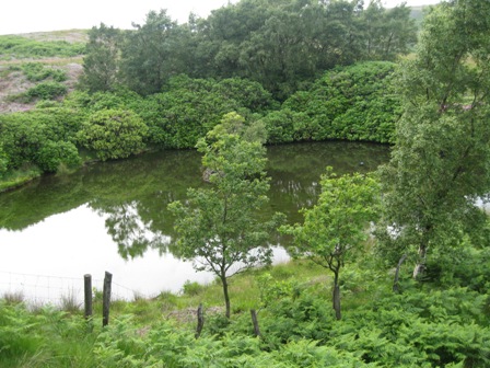
You pass a man made small pond on your right and the path bends left below the pond and pick up and follow a fence down the valley side to a track (that goes to the Lodge). A friendly notice tells you that the track to the Lodge is private – OK we've got the message. Turn left and walk down the Lodge road. It's a pleasant walk down the Valley with the reservoir blow you o your right.
The track rings you out at the old station by the Woodhead reservoir dam wall. At a house turn right and then left and walk down the trail for a short distance.
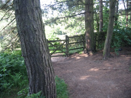
At a FP (Crowden) turn right and cross the Woodhead/Glossop road. A pedestrian gate gives access to a track which drops down through a wood to a footbridge that crosses the dam water channel/ line of the original Etherow River.
Cross the bridge and on the far side turn left and drop down to a path that tracks the left hand side of a water channel. Continue down past a nice stone bridge (FP Crowden) to a gate that give access to a track.
Turn right (FP Crowden) and in 50m you gain access to the main Woodhead road – A 628. Turn left and cross the road. In 30m turn left onto the Crowden car park access road and flow the road round to the car - if it's still there.
Summary
An excellent walk in fine summer weather. There are excellent views of the Dark Peak from the tops and the Etherow Valley. On a good day you can see Snowdonia.
It's quite a desolate walk in places. You meet people on the PW and the Longdendale trail but few other places. The walk up to Yellow Slacks gives good views that are worth the climb
The Dark Peak is a good place to visit at this time of the year; good views and the beauty of the moors is shown off at its best as they are covered in cotton grass and the fauna with lots of wildlife.
The chance to see four hawks was worth the day in itself.
Home Start Point Peak District Books Related Sites Text Only Map&Summary
Home Start Point Peak District Books Related Sites Text Only Map&Summary