FlouchCutGAteHowdenEdgeWoodheadWindledenHazleheadFlouch
25 th April 2008
Wet Moors, a Far Clough and an Old Railway Trail
Who went: PNO, with JK on work and PH pension work
Weather: Overcast with a few showers; not cold but blustery on tops
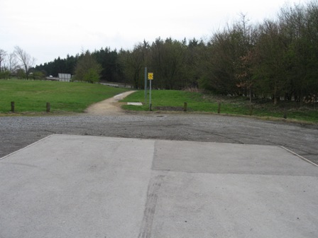
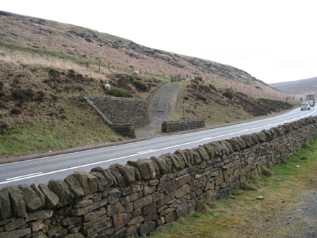
Parking: Car park is free and 0.5km SE of the Flouch roundabout on the A616
The Walk
Leave the car park by taking the path from its SE corner.
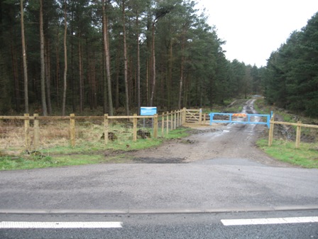
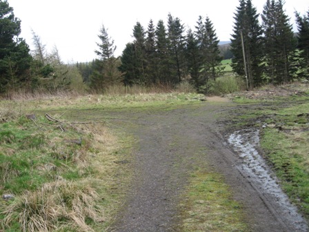
Cross the road and go straight into the wood in front of you. Take the woodland trail that heads west into the wood. I was taken short just out of sight of the road and had to wander off for relief.
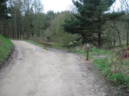
400m into the wood you meet a cross roads of tracks, take the track that goes left (south).
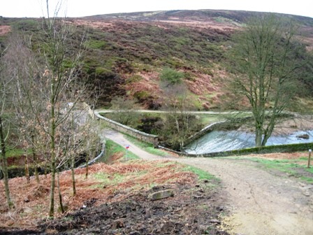
In 200m you meet another cross roads. Carry on straight and drop down on a cobbled track down to the Porter (or Little Don) river that feeds Langsett reservoir.
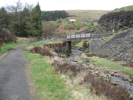
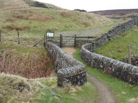
Cross the river via a nice stone packhorse bridge and turn immediately left, pass through a gate and walk on a good path towards a wood.
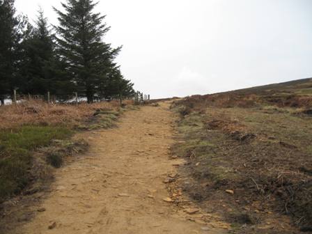
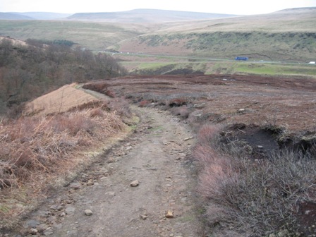
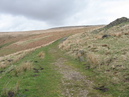
As the track hits the edge of the wood it turns right and starts the ascent of Hingcliff Common. Initially the track follows the edge of the wood but soon the wood stops and the track carries on its ascent. The track is being upgraded.
It is wide and easy to follow even in poor weather.
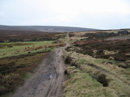
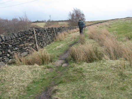
It crosses a couple of old walls and eventually reaches the top point of the Common. From here the way opens up in front of you and the track can clearly be seen heading SE towards Mickelden Edge which forms the eastern edge of Mickleden Beck.
The path up the edge provides pleasant views of the beck until eventually you reach the head of the beck.
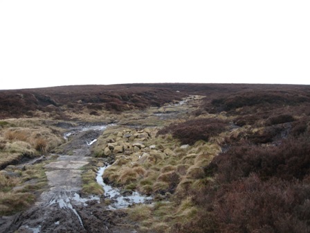
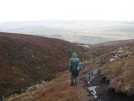
Now the path heads up the peaty moor of Featherbed Moss via Cut Gate.
I always remember in my forgotten youth walking over this moor and getting blown 5 yards off my feet by a strong gust of wind. At the same time my colleague ended up to his knees in a peat bog. Today the path is much better with the authorities laying slabs and hardcore in an attempt to prevent erosion.
Eventually you reach the top of the pass at a cairn and in front of you is Ronskley Moor on the opposite side (western side) of the Derwent valley.
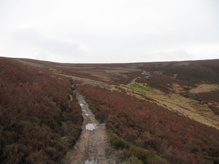
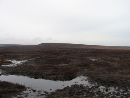
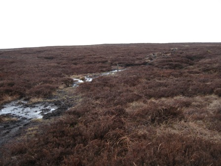
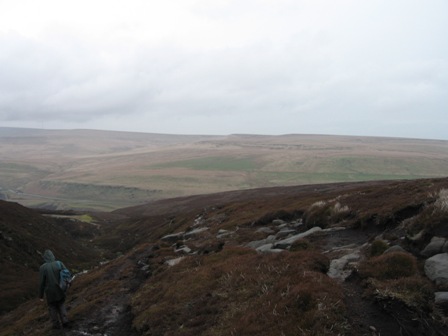
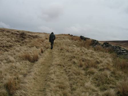
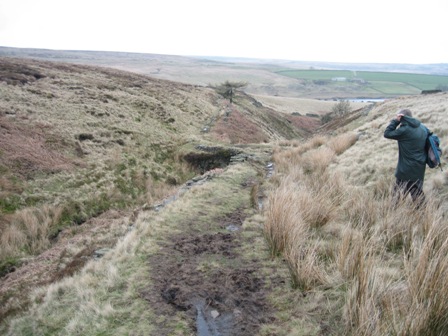
At the cairn turn right and take the path that heads over Featherbed Moss in a NW direction. The path is wet and care is needed to take a route that avoids going into the peaty recesses of the moor. The path is relatively easy to follow.
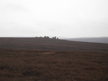
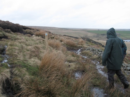
There are a number of stakes marking the path. Ahead two features can be seen on the skyline to the east of Outer Edge. They are Xmas trees. The path heads NW towards the edge (to the left of the features) and the trig point at the high point .
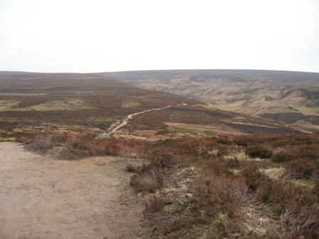
From here there are views of the upper Derwent valley and the wet moorland path ahead.
From the trig point the path descends and heads off initially due north enabling you to track round Stainery Clough Head.
There are a number of posts that mark the path.
If the weather is good you can see the distinctive features of Rocking Stones and Horse Stone on your left.
The path descends gently to a large post and a path that comes from the north along Harden Clough and hits the path at a large distinctive post (GR ~174979. Here the path turns north of west and crosses the watershed with Stainery Clough and Coldwell Clough on the south (your left) and feeding the Derwent and a number of groughs on your right (north) feeding Hordron Clough and The Porter. The path follows the Euro and CP boundary across Harden Moss and eventually climbs to the weak summit of Featherbed Moss. The path bends round Hoar Clough Head and turns heading south west towards Swains Head
After 3.5km of meandering over wet peaty moorland you hit a fence at Swains Head. Cross it via a stile. Here we caught up with 2 younger men who we could see for around 15mins. As we passed them they finished putting on there waterproofs and started to follow us SE on the path. They seemed determined to keep to the path. As there younger legs brought them up to us. First one ended up in the boggy mess up to the top of his boots, and then his mate ended up over his calves. As they struggled to get themselves out one of them said they should follow us as we seemed to know what we were doing – or rather they didn't know how to traverse a peat moor. I was worried that they were going to follow us into Far Black Clough; but I needn't have worried as they could clearly read a map. Pity Peter wasn't there he could have joined them
The path is usually very wet and heavy for 2km from Swains Head. You need to keep your wits about you in poor visibility to keep on the path; there are occasional stakes to confirm the route. Eventually the path begins to turn left (south) and head up onto Bleaklow. Ahead before it turns left is Far Black Clough.
As the path turns (GR 126 981) we headed straight and followed a grough heading west and descending into Far Black Clough.
As you hit the top of the edge of the Clough watch for a good path that descends down the eastern side of the Clough.
As you drop down the views open up across the top of the Etherow valley towards Longside Edge and Withens Moor.
Eventually the path hits a shooting track which drops down to the Etherow.
Just before you reach the river turn left and cross Far Black Clough. On the opposite side of the Clough is a track which heads west with the Etherow on your right.
In 100m cross a fence and continue on the track until you see a track crossing the River via a good bridge. Phil tells two stories about girls on shooting parties. The first was an Italian who owned extensive shooting rights on the moors around Woodhead and Snailsden Moss. He decided on one of the shoots to bring along his young children for the experience. He also bought their nanny who turned up in a mack and flat shoes. Needless to say it rained and she looked miserable. I can imagine what it felt like standing all day on a wet day high on a wind swept moors. The boy aged 10 shot a grouse with a 410. He was over the moon. I would be worried. I wonder how long the nanny lasted.
The second was when an owner brought his 2 teenage daughters along. The first turned up in the morning and looked the country girl. The younger one turned up in the afternoon and although she was appropriately dressed she had makeup on. Needles to say it rained and her makeup ran creating rivulets of black running down her face.
At the bridge turn right and cross the river using the bridge. On the far side turn right and climb up the road that goes to the tunnel entrance. In 50m turn left on a good track (FP) that takes you up to the A628 Woodhead road.
At the road turn right (FP) and in 20m (FP) turn left and cross the road.
On the opposite side of the road take a track that initially climbs to the right before turning left just after a gate and wandering up the fell side until you hit a good wide track coming up the valley from the Crowden direction.
At this track turn right (FP) and follow the track round the side of Longside Edge with the Woodhead road below you on the left.
As we walked up the trail we came across a herd of shaggy black cattle the like of which I've never seen before.
Eventually the track hits the Woodhead road again, cross it and carry on walking along the track but this time the road is above you on your left.
In 250m you cross Salters Brook – the road crosses a nice stone bridge up to your left – via a stone pack horse bridge. A sign tells you that this road used to be the name drovers road between Manchester and Doncaster . Immediately on your right is the remains of an inn. It was shut! Continue on the track.
After a further 400m a track goes off right, continue straight through a gate.
The track climbs along the line of a wall.
As it climbs the track becomes less distinct but keep the wall on your left. Eventually the track/path becomes more distinct and climbs to the top of a hill on the top of which is the remnants of a cross – Lady Cross on the map. NB form here a good track goes to the top of round hill (not on map). Continue ahead passing a small area that has four posts at its corners with crosses on – I need to find out what this is (possibly a crash site or grave.
The track eventually hits the Woodhead road just below its summit.
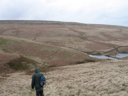
Cross the road (FP) and take a good path that skirts round South Nab and in front of you opens up views of Winscar and Windleden reservoirs plus the surrounding moors.
The path descends down the eastern side of Woodland Clough before crossing it on via a stone bridge. As we descended we met 3 old ladies ploughing their way up the moor towards the Woodhead road. They looked to be struggling. We were to see the oldest 2 back at the car park at Flouch – goodness knows what happened to the third but there have been no reports of a missing walker!
After crossing the bridge the path follows the line of a wall (on your right). In 50m at a post climb up left and away from the path by the wall; the post has a way point telling you to do this – your instinct will be to follow the line of the wall to a gate in the wall ahead; don't be fooled follow the way marker. As you climb away from the wall you see another post ahead of you and then a gate in a wall/fence. Go through the gate and turn right descending down into Broad Clough.
Upper Windleden reservoir is on your right.
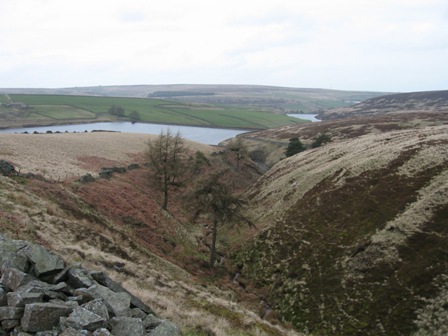
In front of you the line of the path is clear. It drops to the bottom of the clough crosses it, then walks round the top of the reservoir before ascending its northern side to a road from the Woodhead road to Dunford Bridge .
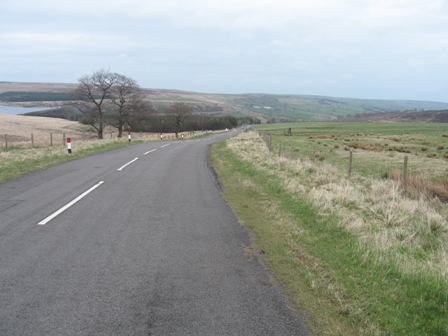
At the road turn right (FP) and descend into Dunford Bridge . As you descend, the dam wall of Winscar reservoir becomes visible on your left. It has trees and bushes on it and some how doesn't give you the impression of strength.
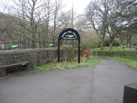
Just before the bridge over the old rail line, turn right onto the Upper Don/ TransPennine Trails. Ahead is the Stanhope Inn.
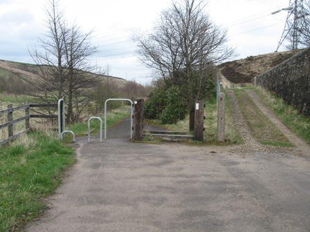
The track takes you down to the line of the old railway. Just before you hit the old line don't be tempted to take the right hand track which ascends towards Thurlstone Moor, but go through the anti bicycle furniture and drop down to the rail line.
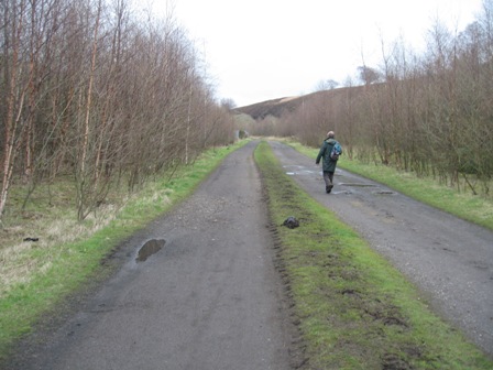
Here turn right and head east (FP) walking along the old Sheffield/Manchester electrified line. The going is good and quick but frankly boring after the magnificence of the watery moors. The good thing is the wildlife. Lots of curlews and lapwings and their sad cries. Magnificent. As an alterative you can walk through Wogden Foot, a wildlife area that was a former railway siding. Its more interesting walking through here than the trail. We found a number of bird eggs on the path that had been gnawed through and the egg eaten. Wonder what animal could have done that. One egg was light blue and a third the size of a small chicken egg, while three were cream and slightly smaller than a small hen egg. This detour reduces by half the trudge down the trail.
After 3km ahead you will see Cote Bank bridge. As soon as you see the bridge look for a gate opening on the left hand side approx 100m from the bridge. Take it and immediately the path turns right and tracks up a wall walking parallel to the trail to the bridge. Cross the bridge and immediately turn left. In 100m take a path off to the right (FP).
The path follows the rhs of a wall over Low Moor. After 0.9m you hit a 5 bar gate that gives access to a walled track that takes you to the A628 Woodhead Road at Swinden Walls. Just before the road the track passes by a couple of houses on either side of the track.
At the road turn right (FP) and walk 200m west on a footpath. Cross the Woodhead road and enter the wood (FP) going straight on a good track that heads almost good south.
Keep going straight on the track ignoring a track going off left to Flouch. After 400m in the wood you hit Far Swinden and a cross roads of tracks; keep straight and drop down to a field.
Carry on straight across the field to a walled track on the far side. Access the track through a gate opening and turn left.
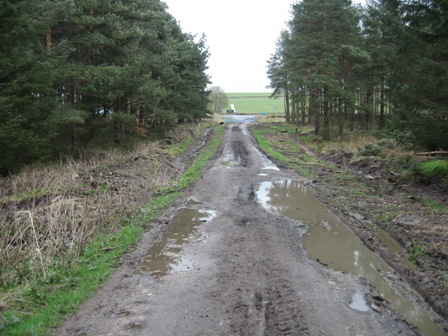
In 50m the track divides. Take the left hand track, go through a 5 bar gate and track down the side of a wood. There should be a FP at the gate but it was on the ground. At a gate the track enters the wood and the track follows the line of a stream. A track comes from the left and then the right but carry on straight.
Eventually the track out turns at the A616 0.5km SE of the roundabout at Flouch. Cross the road and turn left onto a path that takes you back into the car park. There was one other car next to ours. In 5 minutes 2 of the three old ladies turned up!
Summary
A good walk, but one where you need good visibility to see the moors at their best.
The moors in the morning were at their watery best with clear signs of spring as the curlews and lapwings returned. Wildlife along the Trans Pennine trail was plentiful.
Most of the navigation is fairly easy now that a fair number of people walk over the northern edge of the Derwent valley from Cut Gate End to Far Black Clough. In misty conditions some care is needed if you loose the line of the path on this section.
Home Start Point PeakDistrict Books Related Sites TextOnly Map&Summary
Home Start Point PeakDistrict Books Related Sites TextOnly Map&Summary