CalverCoombsMonsalMillerDaleTideswellWardlowMireEyamStonyMiddCalver
14th March 2008
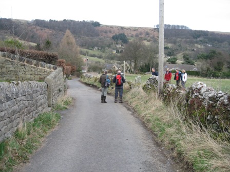
Lovely Dale and Pretty Villages
Who went: PH, PNO, JK called off at the last minute due to work and DG was away.
Weather: Cold windy and it had rained the days before. The question was would Millers dale be walk able.
Parking: Park on the one way section to west of Calver Cross Roads. Playing fields on LHS. It's free for once
The Walk
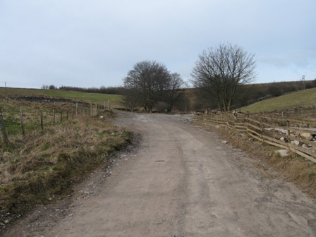
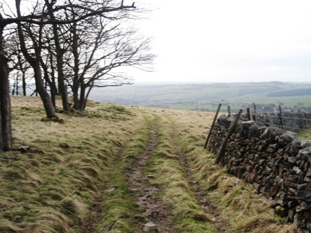
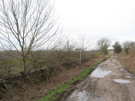
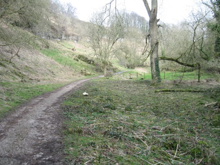
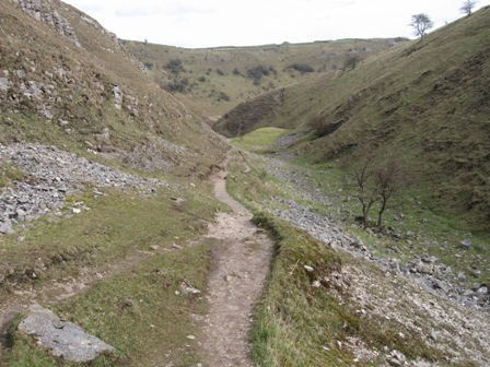
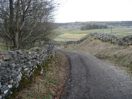
Head up to A623, turn right and head towards Stony Middleton. In 200m you pass the entrance to a small industrial estate cross the road and in 50m turn into a track that runs down the lhs of a children's play field. A sign at the entrance says private road, but ignore it as it is a public right of way; there is a FP. This is the start of Coombs Dale, an interesting limestone valley with an old quarry at the bottom and a settling dam at the top. Initially the track is metalled but it soon becomes rutted and stony. The initial part was more like a stream. This turned out to be the case as we came across a tanker and a couple of men in a ditch digging out the silt that had been deposited. To complete the task they had stopped the stream further up the Dale and diverted it down the track! Still the boots are water proof.
1.5km up the valley a path goes off left and climbs up to a series of old mine workings. You carry on up the Dale. In a further 0.5km you pass the blocked entrance of Sallet Hole Mine.
As you climb further the gradient lessens and eventually you reach the top of the Dale. After passing through a 5 bar gate you hit Black Harry lane descending from the right. Turn left and begin to climb up a good track. Immediately on your right is a wall, a FP saying bridleway pointing up the rhs of a wall and a gate.
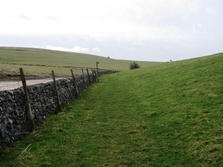
Go through the gate and turn left, ascending with the wall on your left. After 200m take a path that climbs off right – west - (FP) ascending Blakedon Hollow. Ahead you will see a wall coming down the side of the hill and turning west. Walk towards the end of the wall and continue along the wall heading west. The wall is on your left. Below on your right is the reservoir/settling system. They have recently banked it up. At least half is now silt. Follow the wall until you hit a wood. Here cross the wall on your left and continue tracking the wall which is now on your right. The map is confusing here as it is clear that the level of the water has risen.
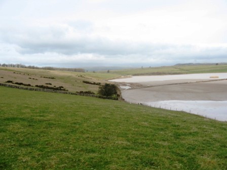
After the wood ends the path drops down to the edge of the reservoir and contours round until it hits a track at its western end. At the track turn left and walk away from the reservoir, climbing up to a lane.
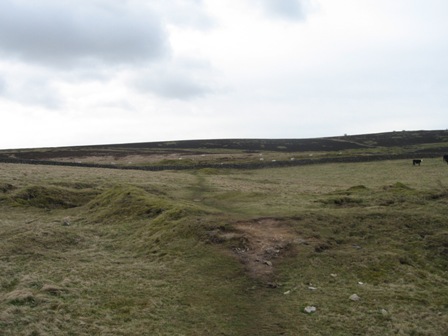
Cross the lane and a path goes off left (due south). Ahead is Longstone Moor. Cross three walls and then you climbing up heathered open moorland. After 0.5km the gradient eases, you pass a FP pointing in the direction you have come (Foolow) and just after this take a path off right.
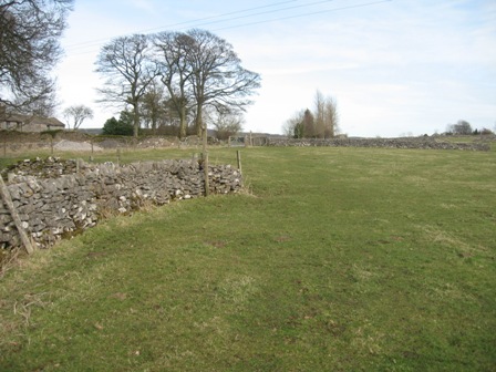
The path gently descends to a grassed area, crosses a track and then climbs onto to moorland again towards some trees. As you reach the trees you hit the remains of a wall running SE/NW. I'd gone wrong here before but then it was in mist. This time I got to the correct place but instead of heading towards the top of the moor and a well defined post/cairn, I tracked to far south of west, hit the line of an old rake and dropped down to a wall. NB should have gone up to the post and then dropped down; and should have checked the direction of wall on the old compass. At the wall I turned left and tracked the wall until it took a sharp left. It was then I realised I had got to the place I'd been before. Below was the wood of Black Plantation. So we climbed the wall and tracked west above the wood and along the top on Longstone Edge. Eventually we dropped down to where the western edge of the wood met a wall running N/S. Here we dropped down with the wall (on our rhs) and found a stile in the wall just below a 5 bar gate and got to the track we had originally been wanting.
At the stile turn left on a track that initially follows the line of the wall (on your rhs) before turning left (east) and away from the wall and descending down the hill side below the wood. Half way down the track we came across a fenced pond that had been created and in which were our friend Ken's great Crested Newts!
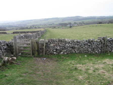
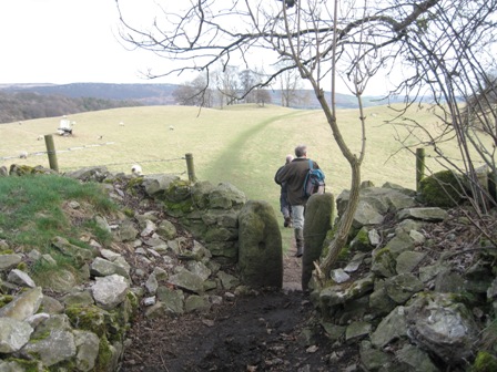
At the bottom of the edge you hit a good (but muddy) track running East/West. Turn right (east) and walk along the track until two fields before the B6465 take a path off left (FP Little Longstone). The path descends to the bottom left hand corner of the field (note the lhs wall of the field has been removed – cheeky), before you climb a stile and descend (south) down the rhs of a wall.
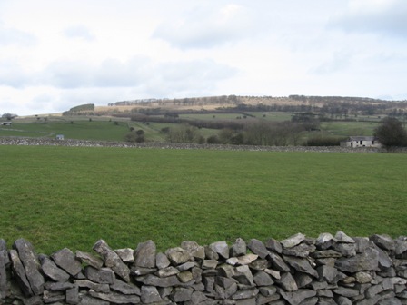
At the end of the second field the path crosses the line of and old wall and tracks over to a wall on your rhs. At the end of this field with a ramshackled building on your rhs cross a wall via a stile and bear left descending diagonally across 2 fields to the bottom corner of the last field. Cross a stile and follow the line of a wall (on your rhs).
A stile in the wall on your rhs is crossed and the path drops with the wall on your lhs to the back of farm buildings.
Go through a gate and round the lhs of the buildings – there is a notice asking you not to smoke in the open barn – before dropping down on the farm access track to the Great Longstone / Monsal Head road.
At the road turn right and walk up the road, past the pub, the church and on your right good views of Longstone edge and the path you've just descended to the Monsal Head hotel.
The road hits the B6465 in front of the Hotel. Turn right and immediately left walking between the hotel and the car park.
Ahead is the magnificent view of Monsal Dale and its superb viaduct. I can only say that the view is enhanced by the viaduct, but then I'm biased. It is one of the most beautiful settings for a viaduct in the whole of the UK .
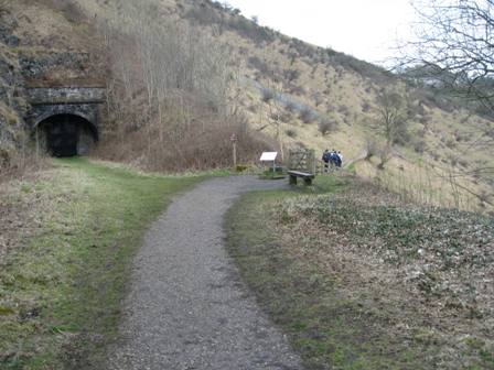
From the car park at the head of the valley take the path off right (FP Upperdale / Monsal Viaduct). The path descends steeply down stone steps for 100m before turning left (FP Monsal Trail / Viaduct) and descending down to southern end of the viaduct just in front of a tunnel entrance.
Turn right on the Monsal trail and cross the viaduct.
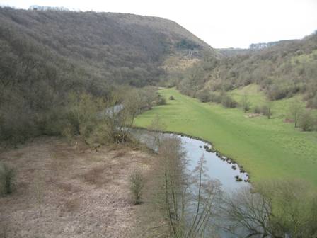
Please spend some moments taking in the views; it's worth it. Continue ahead along the trial, which follows the line of the old rail line which for over 100years had magnificent steam beasts struggling along it. You pass the old Monsal Dale station and below to the right is the lovely Wye Valley . Last time I took this route the river had broken its bank here and the path along Millers Dale was flooded. Today there was no water in Upperdale. It looked good but….
Continue along the track until just before a tunnel (blocked off) the trail turns right through a gate and contours round the side of the valley. Cressbrook and the old mill are below on ahead on your right. Contour around – don't take the path climbing off left and up the valley side. Past the Mill the path drops down to the river – sign posted Monsal Trail. But we could see that the river side path was flooded so instead of dropping down we stayed on the southern side and at the Trail sign kept ahead on a good narrow path that tracked along above the valley bottom. It was like looking down on a clear shallow lake. You could see the underlying topography beneath the water!
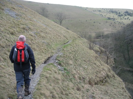
The path tracks round the valley gradually climbing. It's a good path, if somewhat narrow.
Some of the drops are steep for those of a nervous disposition but the views of the Wye running through Millers Dale are worth it. The path eventually hits a wall. Of course I should have looked at the map; if I'd done this then I would have followed the path round the upper side of the wall contouring round the valley. Of course you'll be please to know that we used our initiative as below we could see the line of the rail track with what appeared to be the Trail. So we crossed the wall our right at a junction with another coming up from the right on and walked down the line of the second wall (on your lhs) before crossing this wall and descending to the line of the railway. To our left was the entrance to a tunnel and so we turned right. Unsurprisingly ahead we could see the entrance to another tunnel; trapped and another lesson – if in doubt look at the map. On our left was a fence so we clambered up to it and crossed it. It had lots of rusty barbed wire on its top but for the bigger people this wasn't a problem. Above us was the path we should have been on but to our left and along the line of the fence/wall in the distance we could see a stile, where the path above us met a wall.
On the far side of the stile, the path track contours round above a wall (on your rhs). Eventually you cross the wall which turns left and up the valley and continue contouring round until turning a bend in the river ahead is Litton Mill.
The path ahead is good and clear and continues at a constant height until you pass some old workings and a cave. Here the path splits.
Take the right hand path which descends steeply the line of the rail line, just past a tunnel entrance with the end of the mill below you on your right. At the trail turn right and walk westerly. Walking past the Mill. One owner of the mill was my name sake who had a terrible reputation for the treatment of apprentices. My colleagues took great pleasure in saying little has changed (I used to work with them before we all retired). 250m metres along the line of railway and just before a bridge turn right and descend down to the river (sign Monsal Trail).
The river is crossed using a nice footbridge, the path out turning at the valley road.
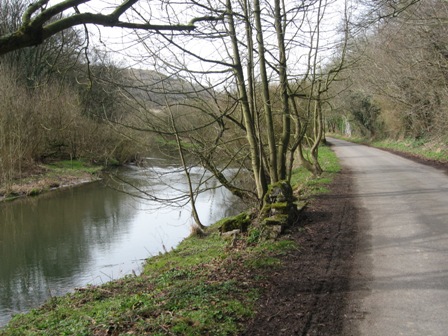
Turn left and walk up the valley, away from the Mill and out of the village. The Wye is on your left.
200m after you've left the village take a good track that goes off right (FP Tideswell Dale). This is the bottom end of Tideswell Dale.
A good track/path climbs up the wooded Dale crossing the stream in the Dale bottom a couple of times. It is a pleasant walk up; but beware it is popular at weekends as there is a car park at the top end. The Dale used to house a quarry for basalt. There is quite a lot to see, with woodlands, flowers, limestone escarpments and carved animals erg an Owl. You know you are approaching the car park because the path has a hardcore surface and then is metalled. There are toilets at the car park and seats if you want to take a break.
At the entrance of the car park take a footpath off to the right (FP Tideswell Village).
The path tracks the road (B6049) up (it's on your left) and is a pleasant surprise keeping you away from the smoking noisy mechanical toys of the idle. The path joins the road just below a road off right to Litton. Join the road and turn right on the road to Litton.
After 450m turn right on a path (FP) that starts at the entrance of a newly converted house. The path climbs up steeply, initially close to a wall (on your right) but then moves away from the wall. Head for a finger post at the top of the valley side. At the FP cross the road and the path heads sharp left and diagonally across a field to its top right hand corner. Cross a stile on your right and track along the right hand side of a wall across 3 fields until you hit a metalled lane.
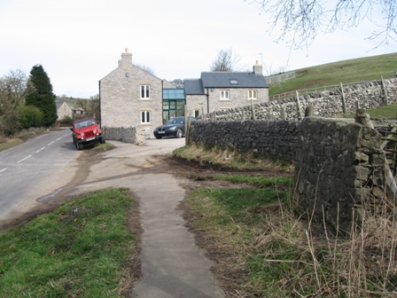
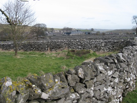
Litton is on your left. The fields in the area are long and narrow, very narrow. Go straight and walk down the lane.
In 150m the lane turns left to Litton but we carry straight down a good track.
In 200 m take a path on the right (FP) and go to the top left hand corner of the field, before dropping diagonally left down into the top of Tansley Dale. As we started to drop down there were 3 blokes, one with a video camera and the others in ranger fleeces talking about walking in the area. I wonder what they were up to? The dale is steep sided and drops down into the top of Cressbrook Dale.
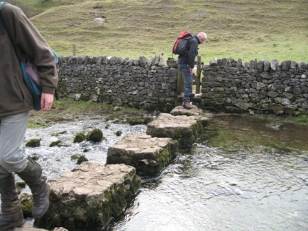
In the bottom of Cressbrook Dale is a stream which is crossed on stepping stones (last time I was here this would have been impossible because of the volume of water in the stream) to the far side of the valley. Turn left and walk up Cressbrook dale. There were at least 2 couples having lunch in the Dale.
We walked up the Dale and as it turned right and headed due north we found a spot to have our lunch in peace. It was warm in the sun provided you were out of the wind, which was cold.
Continue up the valley which turns right (east) where Peter's Stone is up on the right. After walking further up the valley you get a better appreciation of the Stone. The Dale path ends at the A623 at Wardlow Mires. As you approach the road you walk through a farm just before the junction with the B6465 to Wardlow.
At the A623 turn right, cross the road and walk past the pub on your left ( OK I know its difficult but it was closed, although the café opposite was open!). Just past the pub turn left down the farm entrance (FP) and follow the path signs painted on the building walls round the left hand side of the farm.
At the back of the farm the path follows the line of a wall (on your left) up 2 fields. The path continues diagonally left up to the left hand side of Stanley House which is at the top of the field.
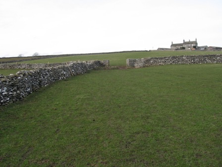
At the top of the field, turn right and track down the rhs of the wall in front of the House and dropping down through a couple of fields. Eventually the wall bends left and the path ascends straight ahead to a stile to the rhs of a small coppice. After crossing a field the path tracks along the rhs of a wall across 2 fields.
In the third field after the wall takes a sharp left the path goes forward diagonally left in front of Brosterfield Farm and you join the farm track. Walk down the track for 300m until you hit a road just after it has bifurcated (you can tell I was a scientist). Turn left and immediately right down a metalled road sign posted to the M1! In 300m this road hits the A623.
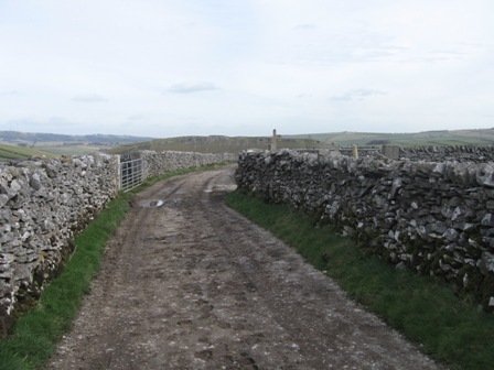
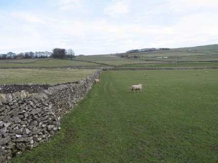
At the junction turn left (not down the A road), but a walled lane – Tideswell lane. This is a lovely limestone walled lane which initially drops down into Linen dale before climbing up and traversing through a system of long thin walled fields all the way to Eyam. To your left are Hucklow and Eyam Edges. After ~1.6km the Lane starts to drop down into Eyam.
Take a path off right (FP) which crosses a field and another Lane before descending on a path (FP) between houses down into a housing estate.
Keep straight through the estate until you hit the main road from Foolow to Eyam at Eyam Hall.
At Eyam Hall turn right and walk into the centre of Eyam, past the Market hall and stocks, several plague cottages and the church. Ahead, where the road bifurcates take the left hand road and drop down to the B6521 at the village square.
Ahead take a lane – Lydgate – which climbs between houses up to Mill Lane (50m). Turn right and climb up Mill Lane .
Shortly the Lane tops out and when it bends and drops to the left carry on straight on a track to the right of a house (FP Stony Middleton).
The track goes straight, along a walled path through a coppice, which opens on to the flat top of The Cliff.
Before you get to the top you pass the boulder stone where during the plague the people of Eyam left money and collected food to enable them to survive.
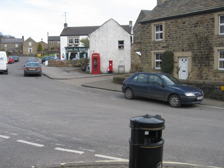
Continue straight ahead until you hit the SE edge and below in front of you is Stony Middleton. Drop down a grassy bank to a lane – Cliff Bottom (there's a surprise). At the lane turn right and drop into the village. Keep left as you descend through the village, until as the road bends to the right and just before it hits the A623 (again), turn left down a lane.
Follow the lane round the church, past a well and as the lane leaves the village behind take a path off to the right.
The path follows the line of Stoke Brook (on your right) until you hit the B6001.
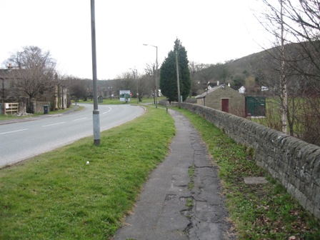
At the road turn right and walk down to the cross roads at Calver and the car.
Summary
An excellent walk. The unexpected best part was the walk along the valley side from Cressbrook to Litton Mill. The geology is interesting – dry valleys, the Wye Valley , mines. The villages of Stony Middleton and especially Eyam are pretty. You need to spend time at Eyam to appreciate the history of the place Cressbrook Dale and Monsal Dale are lovely; slightly behind are Coombs Dale and Tideswell dale. And in every village there is a pub. But we didn't visit one!
The route finding is straight forward as it's all on good paths or tacks. The only point where care is needed is on Longstone Moor.
Home Start Point PeakDistrict Books Related Sites TextOnly Map&Summary
Home Start Point PeakDistrict Books Related Sites TextOnly Map&Summary