Arncliffe Malham FountainsFell Silverdale Litton Arncliffe
30th October 2009
Lovely Views, a Great Valley and a Wonderful Dale
Who went: DS, MP
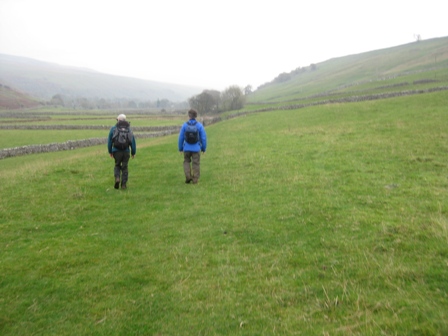
Weather: Typical autumnal day. Low cloud and misty until 12.30 then cloud lifted and the tops were free. Windy on top. Cool but warm for the time of the year. Walking down Littondale to Arncliffe was great. The trees were brown and yellow, the tops were clear and there was milky sunshine
Parking: On the village green at Arncliffe. It's free
The Walk
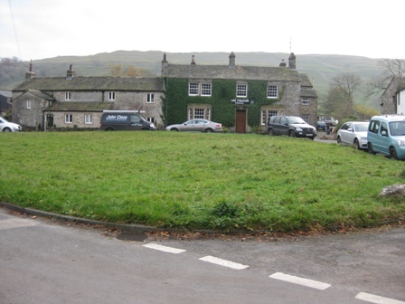
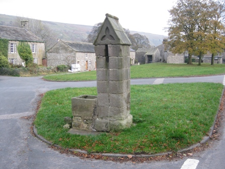
From the car on the green head west towards the village pump. As the roads divides take the left hand road that takes you in front of the pub – The Falcon. The doors were open so presumably there had been overnight guests because it's always closed in the afternoons. DS said he and his good lady found it open once. They went in for a drink and found themselves in the midst of a wake. At the far side of the pub turn left up a lane (FP Malham Tarn 4miles); this marks the start of the Monks road – a path/track to Malham Tarn.
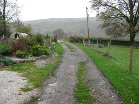
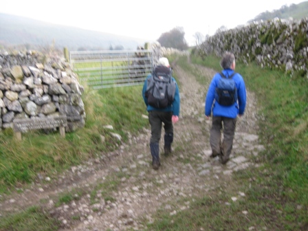
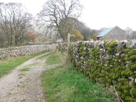
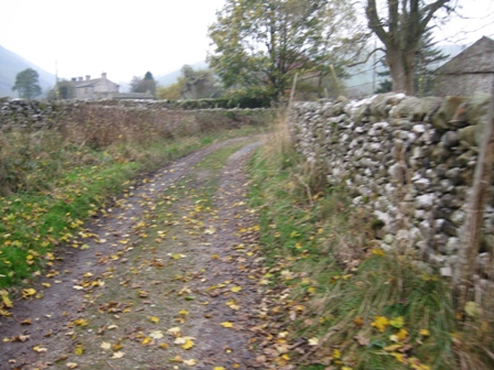
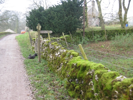
The walled lane takes you out of the village and towards the fells. The last house looked lonely and had a Lotus Élan stood outside which had seen better days.
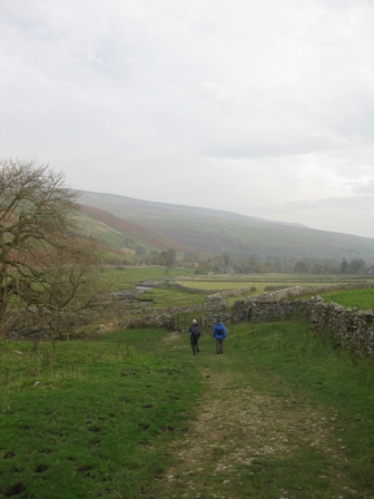
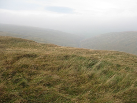
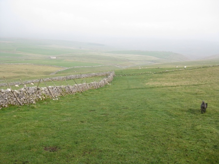
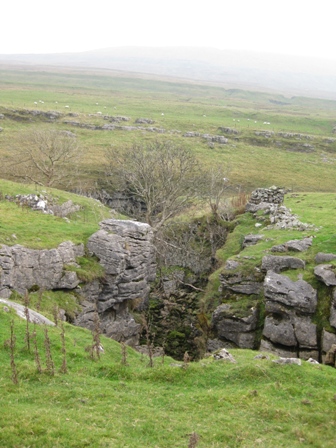
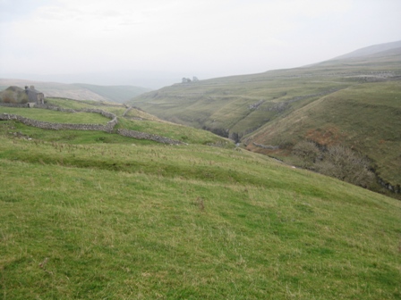
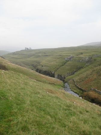
As you reach the far side of the building there was one of the best views I've had the pleasure of seeing – Cowside Beck. In the mist of an autumn morning it looked full of mystery. It's a pity that the path goes up the side of the valley rather along beside the Beck.
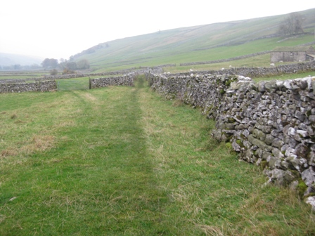
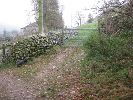
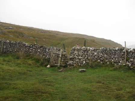
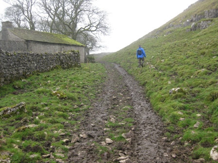
200m past the last house the track begins to climb and just past a 5 bar gate turn right and cross the wall (FP). Above you are limestone terraces and scars.
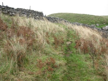
The path climbs to the apex of a wall and then climbs more steeply to the top right hand corner of a field where a stile gives access to the upper reaches of the valley side.
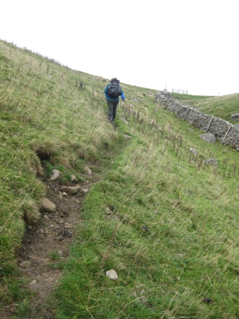
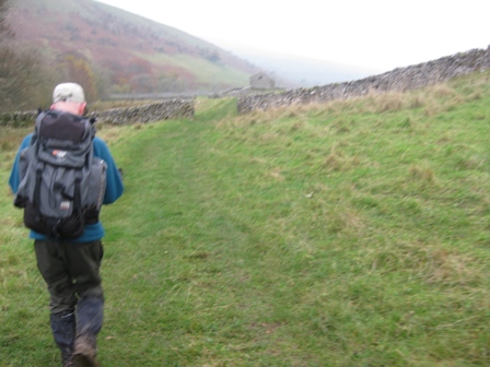
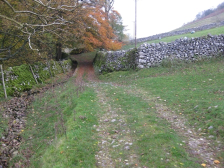
Looking back Arncliffe looked picture postcard in the autumn light. A grassy path continues to climb diagonally right steeply. There a couple of options as the path divides. The first time keep to the left hand path but the second time it divides take the right hand path; the rule is climb diagonally right to a wall on the horizon.
Eventually you reach a pedestrian gate in a wall. Through the gate the gradient eases, the major part of the ascent is over, and the path climbs up to fence which it then follows to a further wall.
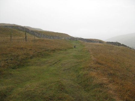
The path now traverses above the valley tracking a fence on your left until you reach a wall.
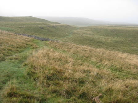
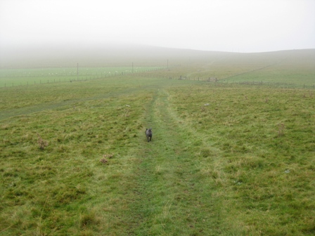
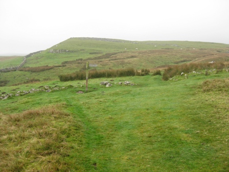
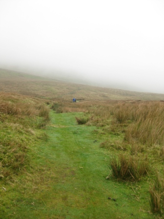
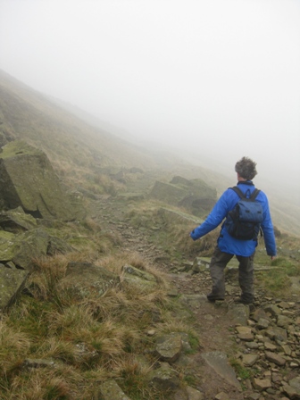
After crossing the wall using a gate, the path starts to bend left climbing gently south west and away from the valley edge. Today it was also heading into cloud. It's a good grassy track and you can make good time. Above you is Clowder.
After crossing a couple of walls the views open up of the junction of Cowside and Darnbrook Becks with a backdrop of Darnbrook Fell.
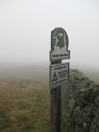
At a further wall you hit National Trust property - NT Malham Tarn Estate. The path continues to climb to a further wall after which the path divides again. Take the left hand path which takes you to ladder stile over a wall. There were some ugly looking cows with fearsome horns here. Needless to say one DS hung back even when they started to move towards him!
Shortly after this last wall the climbing finishes and the path picks up a wall and follows it on its right hand-side and eventually meets a path from Darnbrook (FP).
The path follows the wall on your left to the lonely buildings of Middle House. Last time DS was here there were people renovating it; it didn't looked lived in. Follow the wall round the bottom side of Middle House. 200m after the house the wall bends to the left and the path continues ahead. In a further 150m you hit a track.
Turn left down the track and in 200m you reach a wall which you cross by a ladder stile by a 5 bar gate nb if you miss the track you will see a wall in front of you, turn left and follow it round to the stile.
On the far side of the wall below you is Middle House Farm. The path splits.
Take the right hand grassy track that drops down heading south west to a fence.
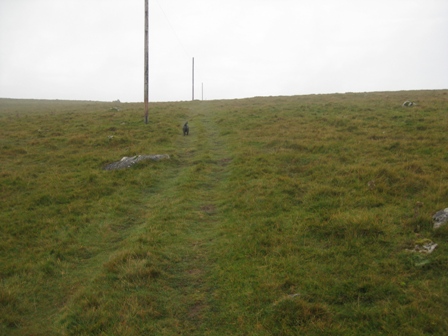
Cross the fence and climb up the line electricity supply posts. At the top in front of you is Malham Tarn.
The path drops down diagonally right to the track that circumvents the tarn at the junction with a wall. (FP).
At the track turn right, cross a cattle grid through a 5 bar gate and walk up the track to the field centre at Malham Town House. You are now on the Pennine Way which you follow over Fountains Fell to Dale Head. The track goes round the right hand side of the house and continues to circumvent the Tarn on the far side.
200m down from the House is a viewing area for the Tarn above a boat house. It is a good point to take in the views and have a rest – if only there was a seat!
Continue along the track which moves away from the Tarn. 300m after the boat house and just before you reach some buildings at Water Houses turn, right through a 5 bar gate (FP PW Tennant Gill 2 ½ miles).
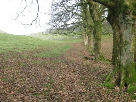
The path now heads north initially along a line of old trees before bending left and crossing wall through a 5 bar gate.
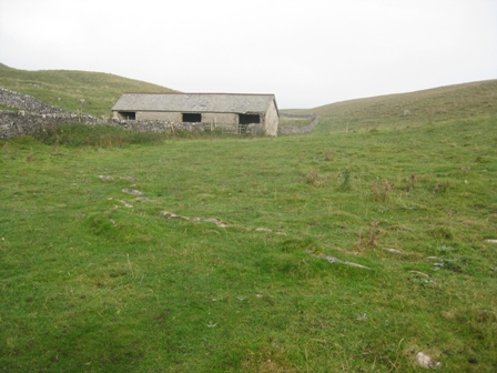
The path follows the line of a wall (on your left) past a barn and round the farm at Great Hill.
On the far side of the farm the path crosses another wall before picking up the line of a wall on your left. You can now see the path ahead and up to the farm at Tennant Gill.
After 300m the wall and path turn sharply left (FP) and drop down to a wall.
Cross the wall through a 5 bar gate and take a path off diagonally right (FP) that climbs up to a road where it intersects a wall. Above you on the left is Great Hill Scar.
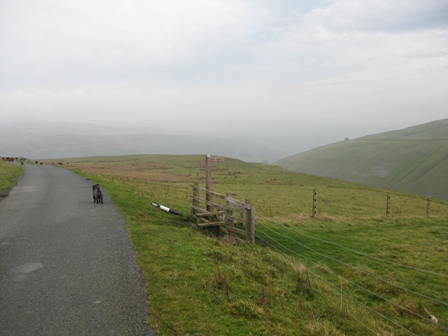
At the road turn right (FP PW Dalehead 5 ½ miles).
Immediately turn left up the access track to the farm at Tennant Gill.
Just before you reach Tennant Gill turn left (FP PW) up a track and around the left hand side of the farm.
At the top side of the farm continue straight climbing up a grassy track to a wall. Cross the wall using a ladder stile by a 5 bar gate and turn left (FP PW).
The path contours above a wall for 100m before turning right (FP PW) and climbing up the line of an old wall. In front of you is Fountains Fell – if you can see it.
The path climbs along the line of the wall for 600m before turn right and heading east of north.
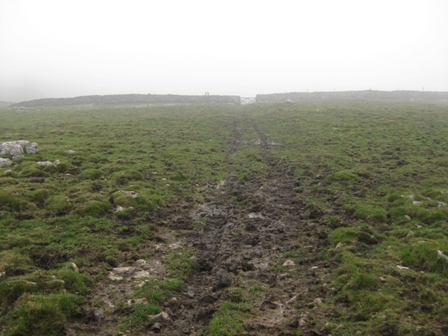
It crosses the upper reaches Tennant Gill and a wall before developing into a good track. This track drops down and crosses a stream via a plank before continuing to climb up to and round the eastern flank of Fountains Fell. By now we were in cloud. The path is a little muddy in places but once the gradient eases you know you're near the top.
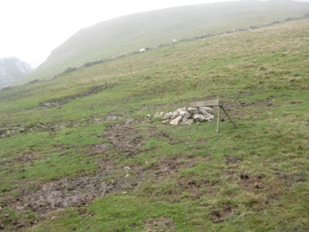
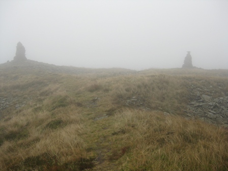
Close to the 2 cairns that mark the high point of the path (but not the high point of Fountains Fell) there is a NT sign warning of mine shafts.
Just past the cairns you hit a wall (NT Malham Tarn Estate).
Cross the wall and take a good track that descends North West, then turns left heading just south of west and descends along the line of a fault to a wall coming down the side of the Fell.
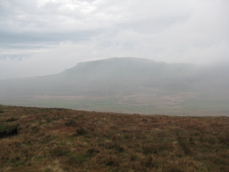
As we descended of course the cloud began to lift and you are confronted by the wonderful outline of Pen-y-Ghent.
At the wall turn right and drop down the right hand side of the wall down (it's on your left). As we descended we came out of the wind and the temperature rose.
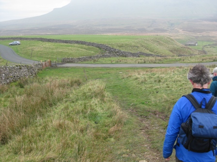
You cross a wall and then drop down to Silverdale Road. Above you looms Pen Y Ghent – a magnificent sight. We had lunch here in a sheltered spot being overlooked by Pen-y-Ghent with cloud swirling around its top.
At the road, turn left, cross the cattle grid and immediately turn right (FP Silver dale Road 2m); this is where you leave the Pennine Way. In 30m you cross a wall then follow the line of a fence down the left hand side of a gill.
In 200m you cross a wall and in a further 100m, before a barn, you turn right (FP Silverdale Road), and cross a wall and the gill.
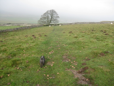
The path now traverses across grazing land for 0.7km with a wall 50m to your right.
It crosses a couple of walls before dropping down to Silverdale Road where it crosses the wall on your left by a barn.
At the road cross the wall and immediately turn right (Silverdale Road 1½ miles) nb the OS map is wrong here as it says the path does not cross the wall! I sent DS &MP on a wild goose trail here while I looked on the far side of the wall and found a FP.
In 100m cross a wall, via a stile, and walk ahead to a second wall.
This marks the top of the valley where Pen-y-Ghent Gill emerges from the hillside. At the wall turn left and follow it round (FP).
As the wall turns right continue ahead, crossing the dry bed of Lockey Beck.
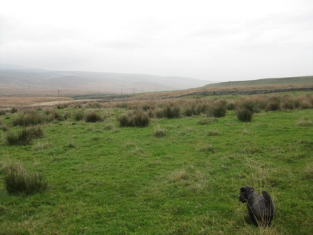
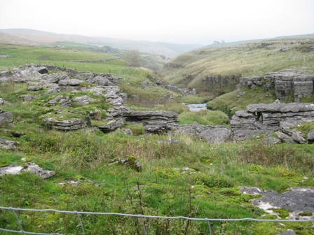
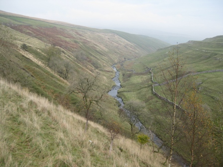
The valley down which Pen-y-Ghent Gill flows is quite dramatic but you have to wander close to the Gill to see it in its full glory.
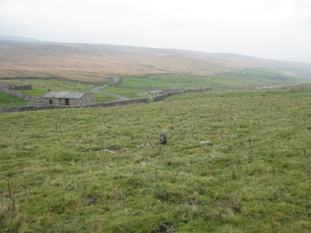
A good path contours along the top side of the valley and eventually drops down to a gate (FP) in a wall that allows you to walk along the right hand side of a wall round the bottom side Pen-y-Ghent House. Here we met two ladies struggling along the path. They said the path wasn't very nice.
Opposite the house a waterfall falls down into the Gill in the bottom of the valley – quite unexpected.
Eventually the path leaves the wall and contours along the valley side; its narrow and muddy but well sign posted. It reminded me of the path down the northern side of Alport Valley in the Dark Peak, except this was in limestone country.
Eventually, after a gate in a fence, the path begins to climb. Keep looking back as the valley is very pleasant.
Finally after a short steep section you reach a gate in a wall.
Through the gate there's another short section before you hit the Silverdale Road again (FP). Look back at Pen-y-Ghent it's a good view.
Turn right and walk along the road for 200m and turn right onto a path (FP Nether Hesleden) (not where it's marked on the OS map).
The path drops down the right hand side of a fence. After 200m the fence and path bend left and the gradient eases.
A good path takes you down to a ladder stile in a wall above the farm at Nether Hesleden.
Cross the wall and drop down to the farm track opposite a 5 bar gate (FP).
Go straight through a pedestrian gate by the 5 bar gate and walk round the front of the house on the farm access road for the farm. As you approach a 5 bar gate there is a compound of geese. They certainly hiss and make it clear you are not welcome. It's a good job that they are contained by a fence as they are large aggressive animals.
At the 5 bar gate turn right and walk down the side of a wall towards Pen y Ghent Gill. At the bottom of the field turn left through an old wrought iron gate and then immediately right and cross the Gill via a lovely stone bridge. On the far side cross a fence via a stile by a 5 bar gate and turn left (FP Litton).
The path follows the line of the Gill (on your left) through 2 fields. There are always two friendly miniature ponies in these fields that invariably follow you to the bottom field.
At the end of the second field cross a wall via a ladder stile and continue straight through two fields heading for a barn. Just before the barn go through a gate and proceed along a walled track past the barn.
Here the track looses the left hand wall for a section before becoming walled again on both sides. After crossing through a gate (FP) you cross an open field to a 5 bar gate in a wall (FP).
After tracking a wall on the left for a couple hundred metres,crossing a wall through a 5 bar gate, you climb up to a good track (which goes from Litton to the Silverdale road along the southern side of Pen-y-Ghent Gill).
At the track (FP) turn left and drop down the track through a 5 bar gate to New Bridge and the River Skirfare.
Don't cross the bridge but continue along a walled track that moves away from the southern bank of the Skirfare.
After 0.4km the track reaches the buildings at Spittle Croft. Keep to the top of the Croft through a 5 bar gate (FP).
The path/track follows the topside of wall across a couple of fields before becoming walled, passing through a gate and dropping down to and crossing a stream.
The track bends left and tracks down the right hand side of the stream with the buildings of East Garth on your right.
The track drops down past the buildings and as it takes a sharp right turn go right through a five bar gate (FP Arncliffe) and cross a field to a gate opening in a wall.
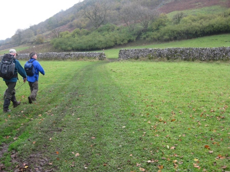
Through the wall turn left (FP) and track down the right hand side of the wall. After a couple of hundred metres you leave the wall (FP) and head straight for the left hand corner of the field where a stile gives you access to a path that tracks along the bank of the Skirfare with a wall on your right.
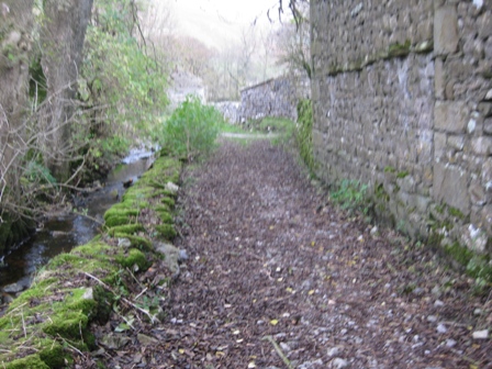
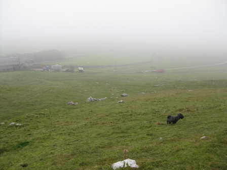
The path tracks along the bank for 0.6km. It's not an easy path as it is rutted with tree roots which are slippery when wet. We met a party of aging grannies struggling towards us. It made a rather surreal picture as a couple of them were bent double and using walking sticks. Not a path for such people. The river is usually dry over this stretch and today there were puddles of water in the limestone bed rock that Max enjoyed running through.
Eventually you go through a gate and as the river meanders away to the left the path goes straight, crossing a stream via a plank, and crossing a couple of fields before rejoining the river at Guildersbank; the path is adequately signposted with finger posts. It always amazes me that here is the junction of paths, one of which crosses the Skirfare. By now there is always water in the river and there is no bridge, so you have to get wet if you cross the river.
The path now follows the river bank again for over 0.4km and enters Scoska Wood – Nature Reserve.
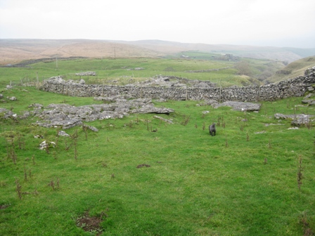
At the far side of the wood the river meanders off left again but the path continues straight through an ancient settlement and field system, crossing couple of fields (walls) before rejoining the river bank again.
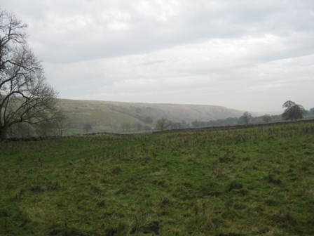
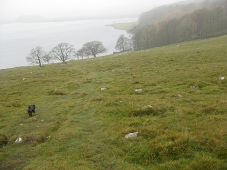
The views of the valley now open up with Old Cote Moor on your left and Bown Scar Wood hanging on the hillside on your right. The birds were squawking and there was no noise form cars, people or planes/ it made a classic autumn picture in the watery sunlight. A snapshot to remember but difficult to capture on the camera.
The track now crosses a couple a walls and a plank bridge over a stream.
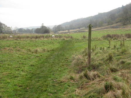
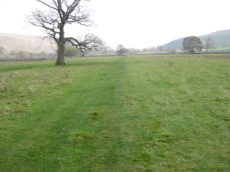
The river has meandered off to the left again leaving the path to cross a wide flat grassy flood plain for 0.5km. Ahead you can see buildings in the trees – Arncliffe.
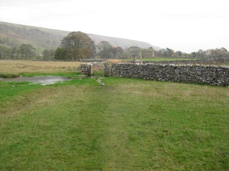
At the far side there is a gate in a wall just before the wall turns through 90 degrees. Through the gate the path continues to the left hand side of a wall to a five bar and pedestrian gate. In front of the gate is always a large puddle of water. Looking a lot closer water is bubbling away - clearly a stream. The gate gives access to a track.
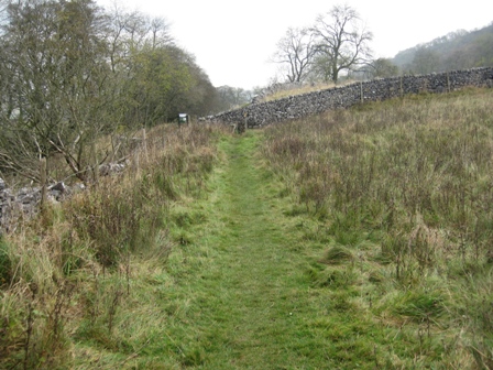
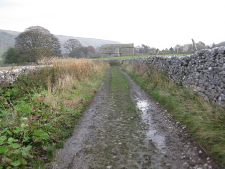
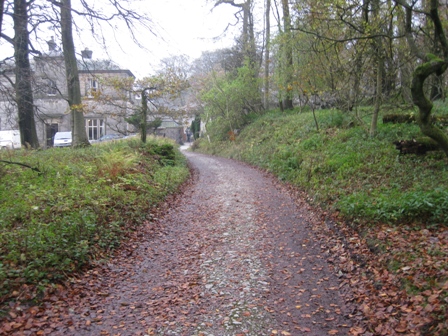
Continue ahead down the walled lane for 0.5km until you hit a metalled road. Cross the bridge over Cowside Beck and enter Arncliffe.
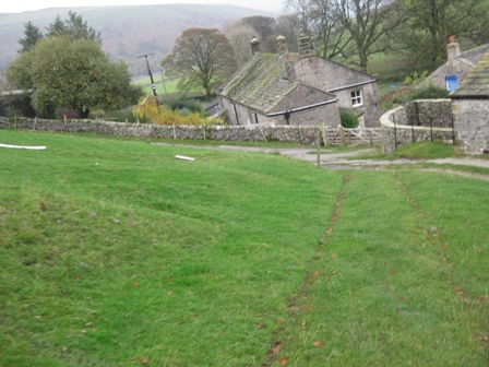
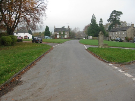
In 200m the road opens out into the village green with The Falcon on your right. Ahead is the car. Note the Falcon is never open. DS says he and KS did find it open and went in for a pint. It was a wake!
Summary
A lovely walk in typical autumn weather. The morning meant low cloud with a base of around 1800ft. So again on the fourth attempt there were no views from Fountains Fell. Needless to say as we dropped down to the Silverdale Road the mist lifted and the tops were clear. The afternoon was perfect with watery views and lovely autumn colours. The trees still had leaves and the grass was taking its winter coat.
The route is easy to find, even in mist. Cowside Beck looks a hidden gem; it's a pity that the path goes up the side of the beck rather along the line of the beck. Malham brings civilization and one of Yorkshires three natural lakes. It's always windy and cool when I visit! The route down Pen-y-Ghent Gill is another hidden gem. It reminds me of the Alport Valley above The Castles except that this valley is in limestone country so that the geography is interesting. The path is high level and therefore muddy and slippery. The walk down Littondale is an autumn classic. Everyone should walk down it at this time of the year.
Home Start Point Dales Books Related Sites TextOnly Map&Summary
Home Start Point Dales Books Related Sites TextOnly Map&Summary











.
 .
.