GrassingtonKelberSandyGateGreatWhernsideKettlewellConistonPieGrassington
19th September 2008
Who went: DS
Weather: The weather was forecast to be good so muggings drove up in shorts. But the Dales were overcast and cool so I decided to wear trousers and take the shorts; wore my summer jacket – in retrospect this was a mistake as at times I needed to wear my waterproof as I was too cold. All morning the cloud was down at around 1500ft so we were wlaking in cloud. As we got to the top of Great Whernside it got lighter but on the top visibility was around 30 yards and it was blowy and cold, so we dropped down to Hagg Dyke. Guess what; as we dropped down the sodding cloud lifted but only for an hour. The cloud came back down again.
Parking: Free car parking at Grassington as DS holds a car park pass. Lucky him. There are toilets.
Arrived at Grassington at 0810 having taken an hour to get there from York. The Dog drove with my car resting in York, where it got sprinkled with sap from the overhanging trees.
The Walk
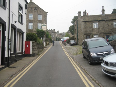
Start from the Yorkshire Dales Visitors Centre car park on the Patley Bridge road. They have good toilets – they had just been cleaned when we made a visit. We set off at 0830. Exit from the north end of the car park – by the toilets – turn left cross the road and walk towards the village centre. At the main street turn right and walk up the left hand of the market square. Continue to climb to the top of the village, past the Old Smithy, which is now an artist studio/sales room.
At the top of the hill and in front of the Town Hall turn left along Chapel Street.
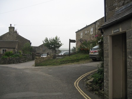
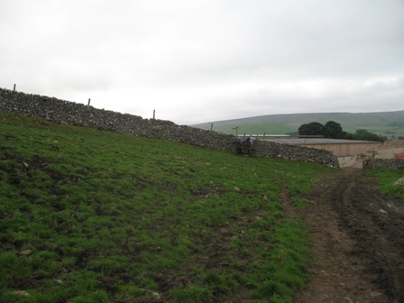
Walk along Chapel Steet taking the second lane off to the right – Bank Lane (FP) – and after a 50 m climb turn left into a walled lane. Below you on the left is large ‘Grundy ‘organized farm with vehicles and farm equipment strewn randomly around a mud bath. The foot path marked on the map (The Dales Way) that goes through the farm has been diverted – thankfully.
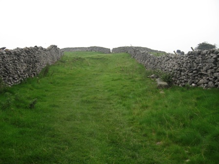
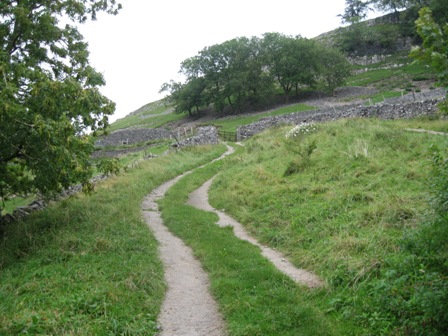
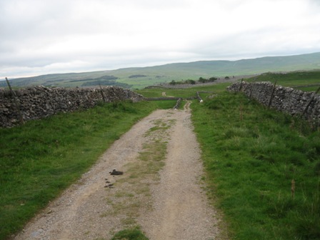
In 250m the lane divides, take the right hand lane and start the gentle climb up through limestone country to Kelber.
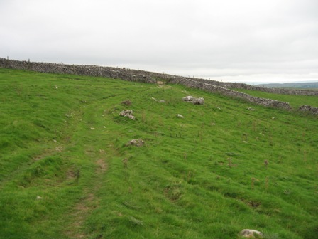
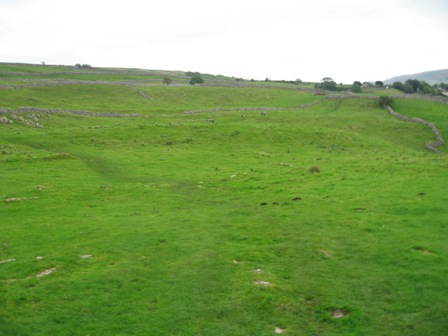
For the next 2/3km the path crosses diagonally a set of long fields that run almost north/south . As we climbed the visibility became limited by low cloud. Still it's a nice climb if somewhat gentle for mountain goats. After 300m you leave the lane and start crossing the fields.
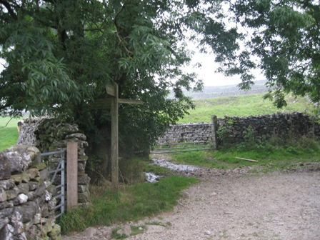
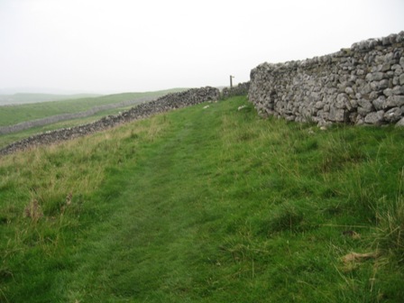
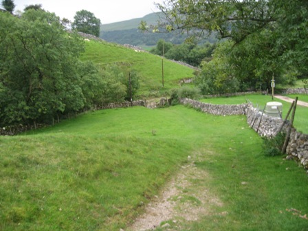
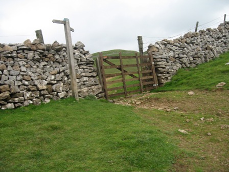
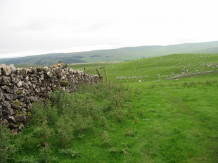
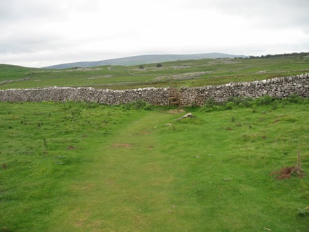
A FP directs you along the path and asks you to follow the line of the wall. It's easy going over a nice grassy path. At the third stile, the path divides so take the left hand path and ascend to the western corner of Bare House.
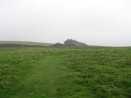
The house is boarded up and is a desperate place. Access would have been from Yarnbury. At the bottom corner of the house access the back of the house through a 5 bar gate. Then continue diagonally right past the corner of a paddock on a good wide track. We went wrong and continued on a track across Back Pasture crossing a wall and then reached the top corner of a second field. We should have gone to the top wall of Back Pasture and then turned left following the top wall on a walled track. We arrived at the end of the track.
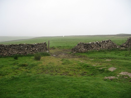
Carry straight – almost due north - through an area of mining activity. A couple of walls are crossed.
At the third wall you follow the left hand side of a wall up to Bycliffe Road at Kelber.
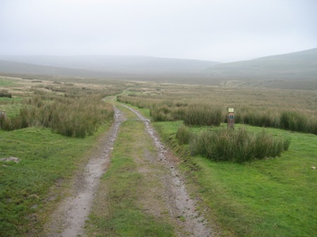
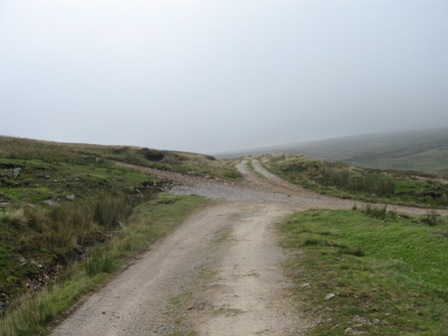
The road is a track/path that links Wharfedale with Nidderdale. Here Bycliffe Road is a wide track that is used for transporting guns to the moors. None were about today. Good progress can be made on the track as it winds up a dry valley towards the col at Sandy gate. At Mossdale Scar Mossdale Beck, which is the major beck draining the southern end of Great Whernside, disappears into the ground. It's more a small river than a beck. Continue on the western side of the beck.
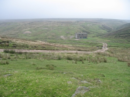
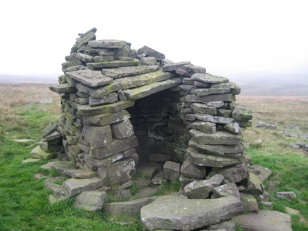
Eventually ahead on the opposite side of the Beck is a shooting cabin.
Turn right off the main track, cross the Beck and head to the cabin. This is also a first aid station which gives you some idea of the remoteness of the countryside and the potential hazards.
At the cabin turn left on a track that initially follows the line of the beck past the right hand side of mining remains.
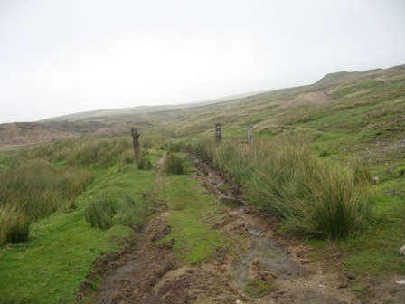
The track turns into a path that is marked occasionally by posts. 250m from the cabin the path heads north east and climbs away from the Beck. By now you are on peaty moorland and above the limestone of the valley bottom. We now fournd the cloud.
As you climb towards the col you come across a stone shelter. A good place for a rest. 0.5km further you hit the col and the boundary fence which here runs north/south.
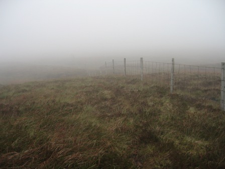
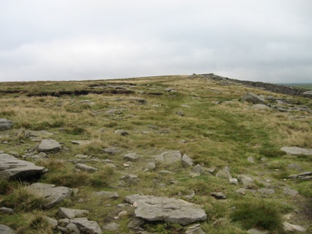
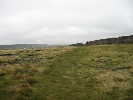
At the fence turn left and now begins an hour's slog cross Riggs Moor before climbing up onto the southern end of the plateau of Great Whernside. Although we were in cloud the route is easy to follow because of the fence. The going is quite heavy after a period of rain because of the peat underfoot; there is no path.
On the eastern side of the fence are a series of boundary stones with WH on them. At a pile of stones the fence turns and climbs up to Stone Head Crag and the plateau. Here the views looking back are excellent – if the cloud is high. Today we could only see grey mist. Good job there were no ghosts.
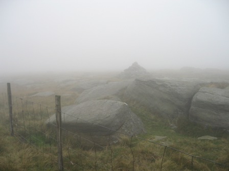
Continue along the fence for 200m until it turns sharp left at a cairn.
Turn right and cross the fence before it turns left and pick up a path by the cairn that heads just west of north.
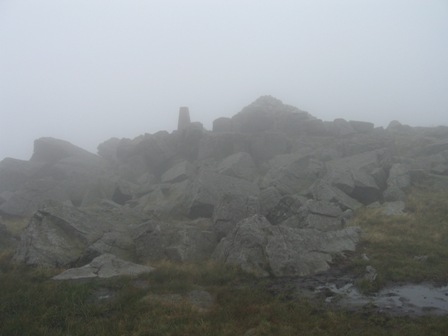
This path takes you to the trig point and the top of Great Whernside a distance of 0.5km. The top is a gathering of rocks topped by a trig point. Care is needed in mist because the path is weak and you can easily loose it and get disorientated. When we got to the top it was misty, grey, blowy and miserable. We decided to drop down to Hagg Dike for food. The path down is to the left of the trig point and its rocks.
The path heads south of west and is marked by a series of posts.
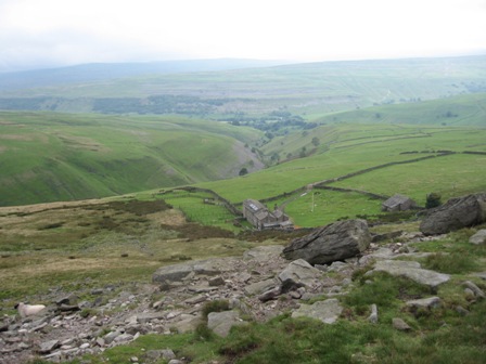
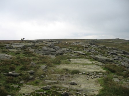
The path drops down off the plateau before leveling and crossing wet moorland to the top of a rock edge above Hagg Dike. As we dropped down the cloud lifted and there was the top behind us, to the right Buckden Pike in watery sunshine and ahead of us Oldcotes Moor. At the edge are a series of cairns. We stopped here for lunch, watched by a small flock of Swaledale sheep. They looked longingly at The Dog's Mars bar. As you look down below you on the left is Hagg Dike Gill Beck which runs into Dowber Gill Beck and drags the eye down to Kettlewell. Smoke rose from the chimneys of the village. To your left in the upper reaches of the Beck are Providence Pot and Providence mine.
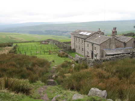
From the edge drop down a rocky path – I always think it's more like a Lakeland path- to the house at Hagg Dike. The path follows the left hand side of the house and a couple of gates take you round the bottom of the house to a track leading away from the house.
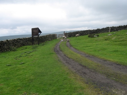
Go straight on the track, walking away from the house past an information board, to a 5 bar gate. Go through the gate and turn left (FP Kettlewell).
For 1.5km the path drops down the grassy slopes of the western side of the Dowber Gill Beck. It's an easy path to follow.
It crosses a number of walls through gates or gaps.
Eventually the path tracks the left hand side of a wall and drops down to Dowber Gill Beck. Here you cross a wall via a pedestrian gate by a 5 bar gate (FP) turn right and follow the Beck to a track. Turn left on the track and immediately cross the Beck via a stone bridge.
Turn right after crossing the bridge and walk down a track towards Kettlewell.
After 200m, as the track starts to enter the village, take a track (FP) that goes off left and climbs back on itself. It's a good climb. Below is Dowber Gill Beck.
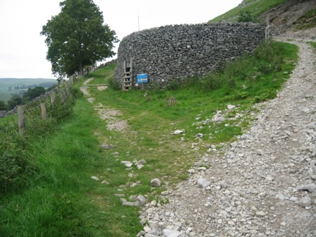
The track crosses a wall (5 bar gate), passes to the left of a large circular stone feature (FP) tracking the right hand side of a wall/fence.
Eventually the fence drops away and the track continues to climb to a wall (FP).
Cross the wall (5 bar gate).
Climb away fron the wall on a track that bends right with a dry valley on your left. After 200m take a track off to the right heading south east which runs parallel to and 50m or so above a wall below you on your right. The track eventually begins to bend up left to a wall but keep straight ahead over the grassy fell side heading south east and keeping parallel to the wall below on your right. .
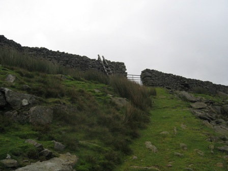
After 0.75km you reach the end wall of the field which is crossed via a ladder stile. A good path crosses another 2 fields.
In the third the path first runs parallel with a track that comes up from the right. When the track bends left (east) the path crosses the track, keeping south east. The path then crosses a field wall.
In the next field the path climbs to the top right hand corner of the field
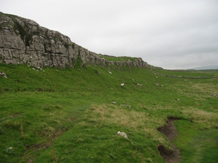
and continues heading south east in the next field, the path tracking above an escarpment.
Eventually it crosses a track coming up the valley (Highgate Leys Lane). We turned left on the track and climbed up to a gate in a wall.
It was a short sharp climb. This detour was taken so I could check that a boundary fence could be taken from the wall up to the top of Great Whernside. At the wall turn right and follow the wall (on your right). In 100m is the boundary fence that goes up to the southern end of the Great Whernside plateau.
Continue straight and as the wall on your right turns right, heading down the valley, carry on straight along the top of a stony escarpment.
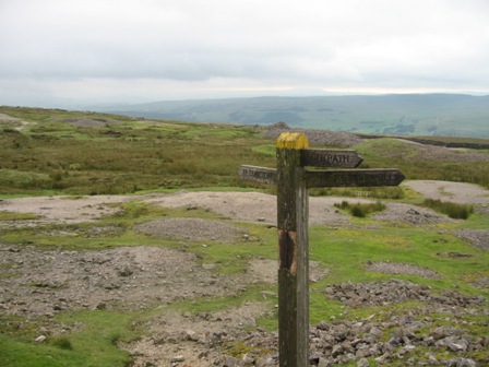
In 150m the path hits the path (at a FP) you were on that climbs up from Kettlewell. From the FP the path heads almost due south through disused mine workings.
The path is not very distinct but is marked by occasional posts.
After 500m the path crosses a wall and to your right on the far side of the wall is the trig point at Capplestone Gate.
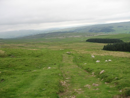
The path now descends down the Conistone Turf Road. As you descend you can see 2 woods and beyond the limestone pavements above Conistone. The path develops into a grassy track
After 500m the track drops below an escarpment above the frist wood and continues descending until it tracks a wall heading south west.
The track drops to the top left hand corner of the furthest wood and goes between the wood and the wall.
As the wall turns sharp left the track (FP)joins another coming from the right. Turn sharp left on the track.
In 400m you join the Bycliffe Road.
Here, turn left and walked down the Bycliffe road.
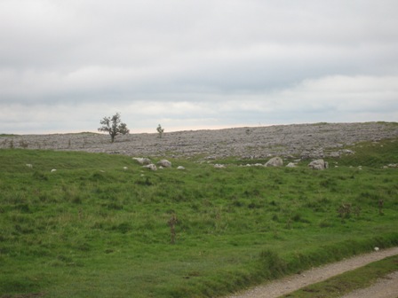
Ahead on either side of the track are limestone pavements. The track walks through the pavements and ahead you can see Wharfedale and the surrounding fells on the far side.
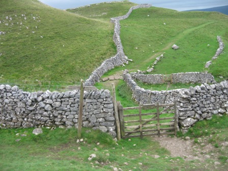
Shortly turn left on the Dalesway (FP) and cross a wall through a five bar gate.
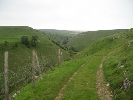
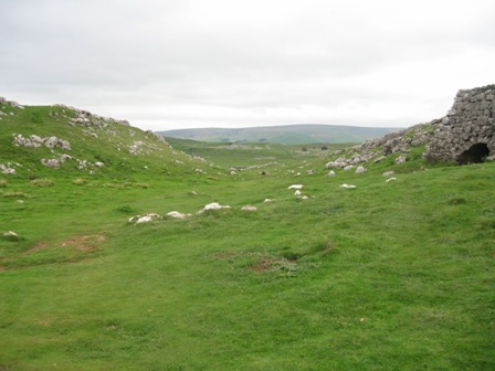
Below you onn your right is a dry limestone river gorge. We stopped and had a drink but could hear voices. Eventually two guys appeared from the gorge and followed us down towards Kettlewell. We soon lost them.
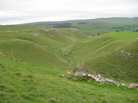
The Dalesway is a good wide path. It's grassy and easy to follow. It crosses a number of fields, past a kiln and a burial mound.
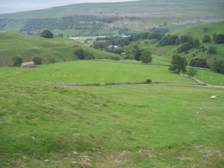
It's a lovely descent, a true limestone walk. You have to walk it to appreciate. After 2km the track crosses Lea Green. On your right is the ancient Bastow Wood.
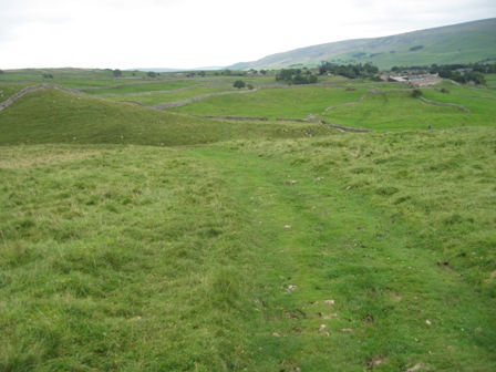
Ahead you can see the smoke rising from Grassington. Care is needed as you get to the end of Lea Green.
Where the track divides keep to the right and shortly you cross a wall via a stile(FP).After crossing another wall the path then turns left and then right and descends along a field.
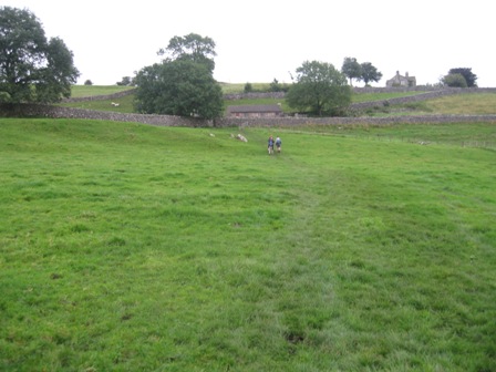
The path is heading for 'Grundy' farm. Just before you enter the farm turn left (FP) and cross a wall.Over the wall head diagonally left and cross a further wall.
You then head diagonally across a field to the track you left Grassington on in the morning. At the track turn right (FP) and walk along it towards the buildings of Grassington and above 'Grundy' farm.
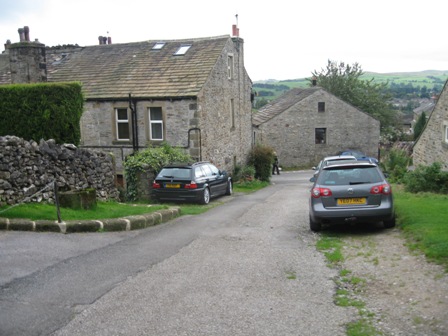
The track eventually turns right and drops down to Chapel Street. Turn left on the lane and walk along until you get to the top of the village by the Town Hall. Turn right on the main street and drop down into the market square. Walk through the square to the main road. Turn left (towards Patley Bridge) walk past the school and fire station before crossing the road at a Zebra crossing and entering the car park.
Summary
A good walk but the views were spoilt by the cloud and DS moaning about the slog over Riggs Moor – for me it was a highlight; for the dog a lowlight. He enjoys wide limestone grassy tracks.
The route finding was OK except round Bare House where we weren't concentrating and missed the path keeping to a track. The other minor issue was on the Dales Way as it approaches Grassington the track divides. Take the right hand track. Other than that no problems although care is needed in places especially on the top of Great Whernside in mist.
The walk down Wharfedale from Kettlewell is always magnificent although today the views were limited by the cloud.
The trek across Riggs Moor is wet and there is little in the way of a path. But route finding is easy because of the fence. Once on the plateau of Great Whernside the route from the southern end to the trig point needs care. The path is faint but provided you keep heading west of north you soon hit the trig point.
There is another way up Great Whernside from Langcliff. You follow the boundary fence from grid reference 998708.
Above Hagg Dike we lunched. A small flock of Swaledale's were watching us longingly!
Walked well all day. The ascents went well but they were relatively gentle. However, fitness is coming back. The Dog remains considerably fitter than me but my endurance is getting better and on Saturday I had absolutely no side effects. It was the first time I've had no side effects after 18 miles.
The big disappointment was we had difficulty finding a tea shop in Grassington. We got down at 16.30 but the bottom tea shop was shut and the next one up was full. Further up we found a place but the owner was miserable and complaining that he had to pay staff £6 per hour – so places closed early. His shop was full as everyone finishing their walks in late afternoon. Someone doesn't know the market or the need.
A typical autumn day, grey and threatening with low cloud. The signs of autumn were clear. Trees were beginning to turn although the number of leaves on the ground were few and far between.
There were a lot of dead rabbits. It is clear that myxomatosis has got to our bunny friends.
Until we got to Conistone we saw no one. There were a few wet footprints on the path to Kelber but we didn't see anyone. At Scot Gate we saw a couple climbing the gorge from Conistone. They turned and followed us as we descended towards Grassington but we soon left them behind. As we approached Grassington we caught up with a group of mainly 60/70 year olds. Realising that these gents would require liquid refreshment we increased our pace and passed them before we hit the village. Did us a lot of good as we had problems finding a cafe.
Home Start Point Dales Books Related Sites TextOnly Map&Summary
Home Start Point Dales Books Related Sites TextOnly Map&Summary